Rojetín | |
|---|---|
 Municipal office | |
 Flag  Coat of arms | |
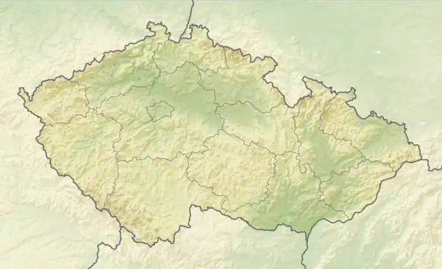 Rojetín Location in the Czech Republic | |
| Coordinates: 49°22′0″N 16°15′27″E / 49.36667°N 16.25750°E | |
| Country | |
| Region | South Moravian |
| District | Brno-Country |
| First mentioned | 1355 |
| Area | |
| • Total | 4.28 km2 (1.65 sq mi) |
| Elevation | 476 m (1,562 ft) |
| Population (2023-01-01)[1] | |
| • Total | 82 |
| • Density | 19/km2 (50/sq mi) |
| Time zone | UTC+1 (CET) |
| • Summer (DST) | UTC+2 (CEST) |
| Postal code | 594 51 |
| Website | obecrojetin |
Rojetín is a municipality and village in Brno-Country District in the South Moravian Region of the Czech Republic. It has about 80 inhabitants.
Rojetín lies approximately 33 kilometres (21 mi) north-west of Brno and 154 km (96 mi) south-east of Prague.
References
Wikimedia Commons has media related to Rojetín.
This article is issued from Wikipedia. The text is licensed under Creative Commons - Attribution - Sharealike. Additional terms may apply for the media files.