Opatovice | |
|---|---|
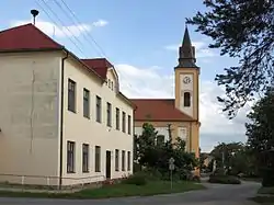 Primary school and the Church of Charles Borromeo | |
 Flag  Coat of arms | |
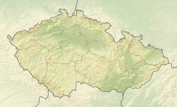 Opatovice Location in the Czech Republic | |
| Coordinates: 49°4′30″N 16°38′28″E / 49.07500°N 16.64111°E | |
| Country | |
| Region | South Moravian |
| District | Brno-Country |
| First mentioned | 1048 |
| Area | |
| • Total | 6.15 km2 (2.37 sq mi) |
| Elevation | 185 m (607 ft) |
| Population (2023-01-01)[1] | |
| • Total | 1,155 |
| • Density | 190/km2 (490/sq mi) |
| Time zone | UTC+1 (CET) |
| • Summer (DST) | UTC+2 (CEST) |
| Postal code | 664 61 |
| Website | www |
Opatovice is a municipality and village in Brno-Country District in the South Moravian Region of the Czech Republic. It has about 1,200 inhabitants.
Opatovice lies approximately 14 kilometres (9 mi) south of Brno and 196 km (122 mi) south-east of Prague.
References
Wikimedia Commons has media related to Opatovice (Brno-Country District).
This article is issued from Wikipedia. The text is licensed under Creative Commons - Attribution - Sharealike. Additional terms may apply for the media files.