Nelepeč-Žernůvka | |
|---|---|
.jpg.webp) Centre of Žernůvka | |
 Flag  Coat of arms | |
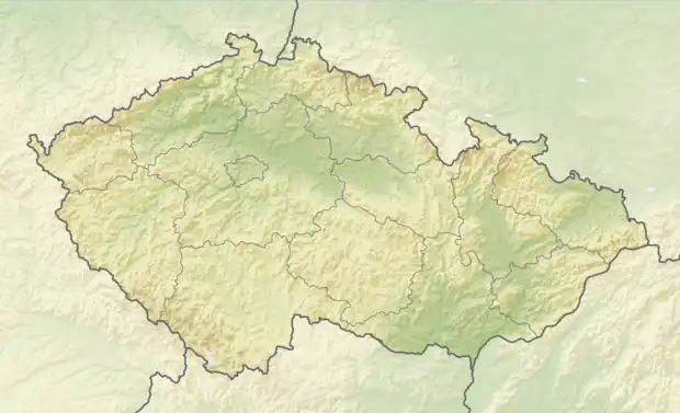 Nelepeč-Žernůvka Location in the Czech Republic | |
| Coordinates: 49°20′31″N 16°22′36″E / 49.34194°N 16.37667°E | |
| Country | |
| Region | South Moravian |
| District | Brno-Country |
| First mentioned | 1390 |
| Area | |
| • Total | 3.93 km2 (1.52 sq mi) |
| Elevation | 445 m (1,460 ft) |
| Population (2023-01-01)[1] | |
| • Total | 73 |
| • Density | 19/km2 (48/sq mi) |
| Time zone | UTC+1 (CET) |
| • Summer (DST) | UTC+2 (CEST) |
| Postal code | 666 01 |
| Website | www |
Nelepeč-Žernůvka is a municipality in Brno-Country District in the South Moravian Region of the Czech Republic. It has about 70 inhabitants.
Nelepeč-Žernůvka lies approximately 24 kilometres (15 mi) north-west of Brno and 164 km (102 mi) south-east of Prague.
Administrative parts
The municipality is made up of villages of Nelepeč and Žernůvka.
References
Wikimedia Commons has media related to Nelepeč-Žernůvka.
This article is issued from Wikipedia. The text is licensed under Creative Commons - Attribution - Sharealike. Additional terms may apply for the media files.