Ketkovice | |
|---|---|
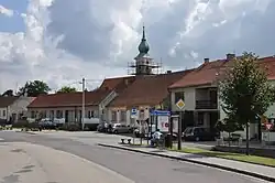 Centre of Ketkovice | |
 Flag  Coat of arms | |
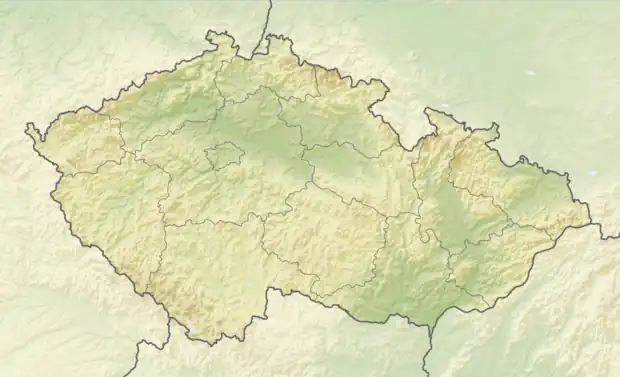 Ketkovice Location in the Czech Republic | |
| Coordinates: 49°9′33″N 16°15′45″E / 49.15917°N 16.26250°E | |
| Country | |
| Region | South Moravian |
| District | Brno-Country |
| First mentioned | 1101 |
| Area | |
| • Total | 9.55 km2 (3.69 sq mi) |
| Elevation | 433 m (1,421 ft) |
| Population (2023-01-01)[1] | |
| • Total | 623 |
| • Density | 65/km2 (170/sq mi) |
| Time zone | UTC+1 (CET) |
| • Summer (DST) | UTC+2 (CEST) |
| Postal code | 664 91 |
| Website | www |
Ketkovice is a municipality and village in Brno-Country District in the South Moravian Region of the Czech Republic. It has about 600 inhabitants.
Ketkovice lies approximately 26 kilometres (16 mi) west of Brno and 169 km (105 mi) south-east of Prague.
History
The first written mention of Ketkovice is from 1101.[2]
References
- ↑ "Population of Municipalities – 1 January 2023". Czech Statistical Office. 2023-05-23.
- ↑ "Informace" (in Czech). Obec Ketkovice. Retrieved 2021-11-18.
Wikimedia Commons has media related to Ketkovice.
This article is issued from Wikipedia. The text is licensed under Creative Commons - Attribution - Sharealike. Additional terms may apply for the media files.