Tehuacán Airport Aeropuerto Nacional de Tehuacán | |||||||||||
|---|---|---|---|---|---|---|---|---|---|---|---|
| Summary | |||||||||||
| Airport type | Public | ||||||||||
| Operator | Aeropuertos y Servicios Auxiliares | ||||||||||
| Serves | Tehuacán, Puebla, Mexico | ||||||||||
| Elevation AMSL | 5,509 ft / 1,679 m | ||||||||||
| Coordinates | 18°29′49″N 097°25′11″W / 18.49694°N 97.41972°W | ||||||||||
| Website | www.aeropuertosasa.mx/TCN | ||||||||||
| Map | |||||||||||
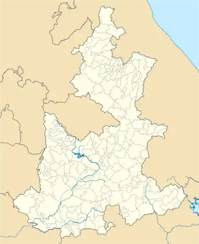 TCN Location of airport in Puebla 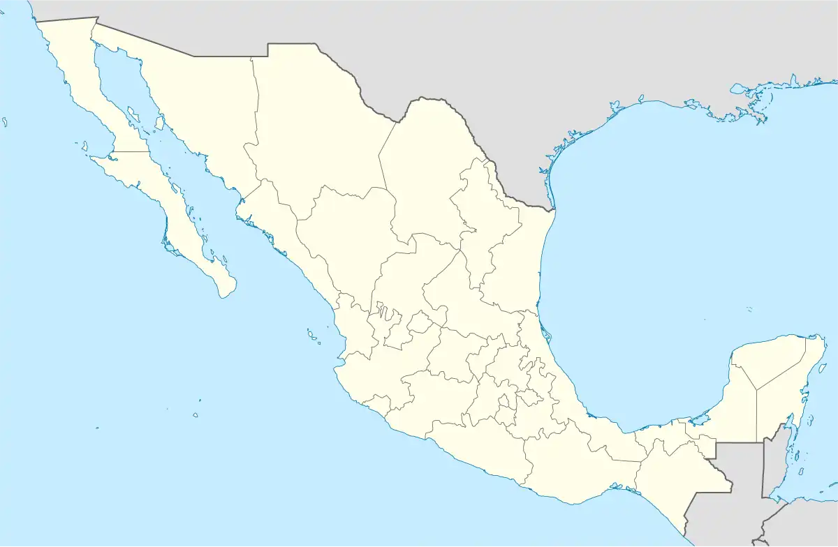 TCN TCN (Mexico) | |||||||||||
| Runways | |||||||||||
| |||||||||||
| Statistics (2022) | |||||||||||
| |||||||||||
Source: Aeropuertos y Servicios Auxiliares | |||||||||||
Tehuacán Airport (Spanish: Aeropuerto de Tehuacán) (IATA: TCN, ICAO: MMHC) is an airport serving Tehuacán, a city in the state of Puebla in Mexico. It is also known as Tehuacán National Airport (Aeropuerto Nacional de Tehuacán).
In 2021, the airport handled 2,176 passengers, and in 2022 it handled 2,156 passengers.[1]
Facilities
The airport is at an elevation of 5,509 feet (1,679 m) above mean sea level. It has one runway designated 13/31 with an asphalt surface measuring 1,990 by 35 metres (6,529 ft × 115 ft). [2]
Statistics
Passengers
Tehuacán Airport Passengers.
See Wikidata query.
See also
References
- ↑ "Estadística Operacional de los Aeropuertos de la Red ASA" (in Spanish). January 2023. Retrieved January 15, 2023.
- ↑ "Aeropuerto Nacional de Tehuacán - Datos técnicos" (in Spanish). Retrieved March 7, 2020.
External links
This article is issued from Wikipedia. The text is licensed under Creative Commons - Attribution - Sharealike. Additional terms may apply for the media files.