Campo Cuatro Milpas National Airport Aeropuerto Nacional Campo Cuatro Milpas | |||||||||||
|---|---|---|---|---|---|---|---|---|---|---|---|
| Summary | |||||||||||
| Airport type | Public | ||||||||||
| Operator | Government | ||||||||||
| Serves | Guasave, Sinaloa, Mexico | ||||||||||
| Elevation AMSL | 92 ft / 28 m | ||||||||||
| Coordinates | 25°39′08″N 108°32′17″W / 25.65222°N 108.53806°W | ||||||||||
| Map | |||||||||||
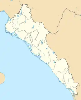 MM52  MM52 | |||||||||||
| Runways | |||||||||||
| |||||||||||
| Statistics (2021) | |||||||||||
| |||||||||||
Source: Agencia Federal de Aviación Civil[1] | |||||||||||
Guasave National Airport, (Spanish: Aeropuerto Nacional de Guasave), officially Aeropuerto Nacional Campo Cuatro Milpas (Campo Cuatro Milpas National Airport), is an airport located in Guasave, the fourth-largest city in the state of Sinaloa, Mexico. Calafia Airlines served Guasave at some point in the past,[2] but there are no longer any scheduled passenger public operations at the airport.
Facilities
The airport is at an elevation of 92 feet (28 m) above mean sea level. It has one runway designated 09/27 with an asphalt surface measuring 1,969 m × 24 m (6,460 ft × 79 ft).[3]
References
- ↑ Airport information for Campo Cuatro Milpas[Usurped!] from DAFIF (effective October 2006)
- ↑ "Aero Calafia route map".
- ↑ "Aeropuerto Nacional Campo Cuatro Milpas" (in Spanish).
External links
- Aerial image of Campo Cuatro Milpas at OurAirports.com
This article is issued from Wikipedia. The text is licensed under Creative Commons - Attribution - Sharealike. Additional terms may apply for the media files.