Sant Andreu de la Barca | |
|---|---|
 Sant Andreu de la Barca | |
 Flag .svg.png.webp) Coat of arms | |
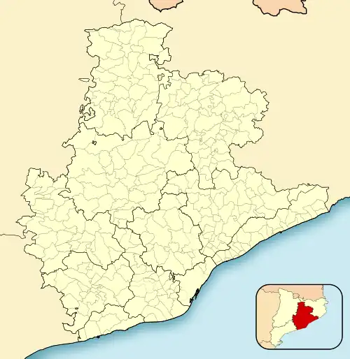 Sant Andreu de la Barca Location in Catalonia 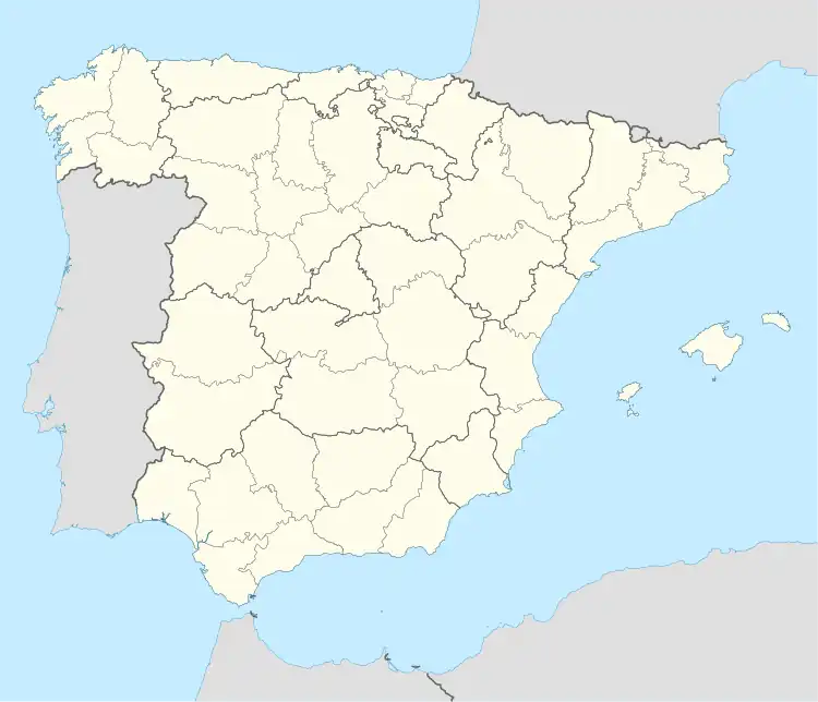 Sant Andreu de la Barca Sant Andreu de la Barca (Spain) | |
| Coordinates: 41°26′52″N 1°58′37″E / 41.44778°N 1.97694°E | |
| Country | |
| Community | |
| Province | Barcelona |
| Comarca | Baix Llobregat |
| Government | |
| • Mayor | M. Enric Llorca Ibáñez (2015)[1] |
| Area | |
| • Total | 5.5 km2 (2.1 sq mi) |
| Elevation | 42 m (138 ft) |
| Population (2018)[3] | |
| • Total | 27,332 |
| • Density | 5,000/km2 (13,000/sq mi) |
| Website | sabarca |
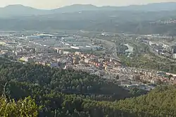
Sant Andreu de la Barca (Catalan pronunciation: [ˈsant ənˈdɾew ðə lə ˈβaɾkə]) is a municipality in the comarca of the Baix Llobregat in Catalonia, Spain. It is situated on the right bank of the Llobregat river, on the main N-II road The main rail lines of the Llobregat corridor pass through the town, and all the FGC suburban services stop at the station.
Demography
| 1900 | 1930 | 1950 | 1970 | 1986 | 2002 |
|---|---|---|---|---|---|
| 814 | 1008 | 886 | 4870 | 14,298 | 23,307 |
References
- ↑ "Ajuntament de Sant Andreu de la Barca". Generalitat of Catalonia. Retrieved 2015-11-13.
- ↑ "El municipi en xifres: Sant Andreu de la Barca". Statistical Institute of Catalonia. Retrieved 2015-11-23.
- ↑ Municipal Register of Spain 2018. National Statistics Institute.
External links
- Government data pages (in Catalan)
Places adjacent to Sant Andreu de la Barca | ||||||||||||||||
|---|---|---|---|---|---|---|---|---|---|---|---|---|---|---|---|---|
| ||||||||||||||||
.svg.png.webp)
This article is issued from Wikipedia. The text is licensed under Creative Commons - Attribution - Sharealike. Additional terms may apply for the media files.