La Nou de Berguedà | |
|---|---|
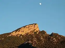 Sobrepuny from La Nou | |
 Coat of arms | |
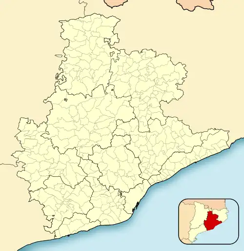 La Nou de Berguedà Location in Catalonia 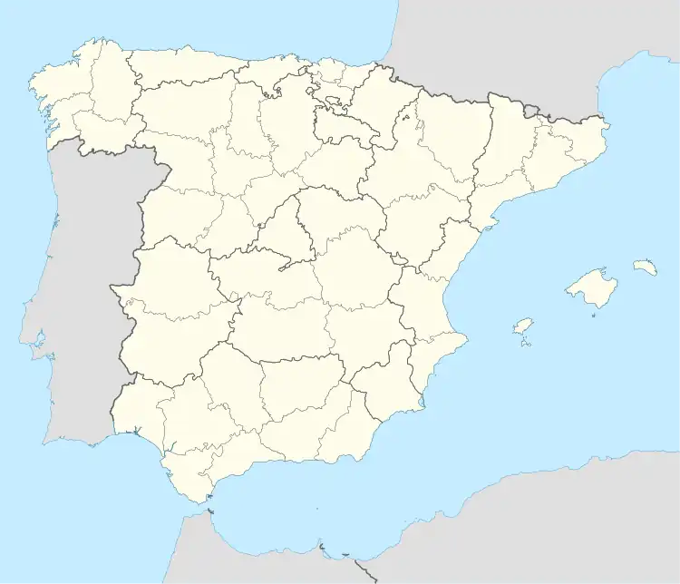 La Nou de Berguedà La Nou de Berguedà (Spain) | |
| Coordinates: 42°10′04″N 1°53′10″E / 42.16778°N 1.88611°E | |
| Country | |
| Community | |
| Province | Barcelona |
| Comarca | Berguedà |
| Government | |
| • Mayor | Eleuter Adelantado Guitart (2015)[1] (CP) |
| Area | |
| • Total | 25.0 km2 (9.7 sq mi) |
| Elevation | 876 m (2,874 ft) |
| Population (2018)[3] | |
| • Total | 160 |
| • Density | 6.4/km2 (17/sq mi) |
| Demonym(s) | Nouetà, Nouetana |
| Website | www |
La Nou de Berguedà is a municipality in the comarca of Berguedà, Catalonia. Located on the left bank of the Llobregat River, it is most noted as a destination for outdoor activities. In particular, the mountain of Sobrepuny is a popular hiking destination.
History
The town is first recorded as a place name in 948, and is also recorded as having had part of its territory ceded to the Monastery of Ripoll in 1003.
Places of interest
- Mountain of Sobrepuny
- Roca de Lliri
- Sanctuary of Lourdes de La Nou, neoclassical, from the 19th century.
References
- ↑ "Ajuntament de la Nou de Berguedà". Generalitat of Catalonia. Retrieved 2015-11-13.
- ↑ "El municipi en xifres: La Nou de Berguedà". Statistical Institute of Catalonia. Retrieved 2015-11-23.
- ↑ Municipal Register of Spain 2018. National Statistics Institute.
External links
- Town Website (in Catalan)
- Government data pages (in Catalan)
Places adjacent to La Nou de Berguedà | ||||||||||||||||
|---|---|---|---|---|---|---|---|---|---|---|---|---|---|---|---|---|
| ||||||||||||||||
.svg.png.webp)
This article is issued from Wikipedia. The text is licensed under Creative Commons - Attribution - Sharealike. Additional terms may apply for the media files.