Montgat | |
|---|---|
 | |
 Flag  Coat of arms | |
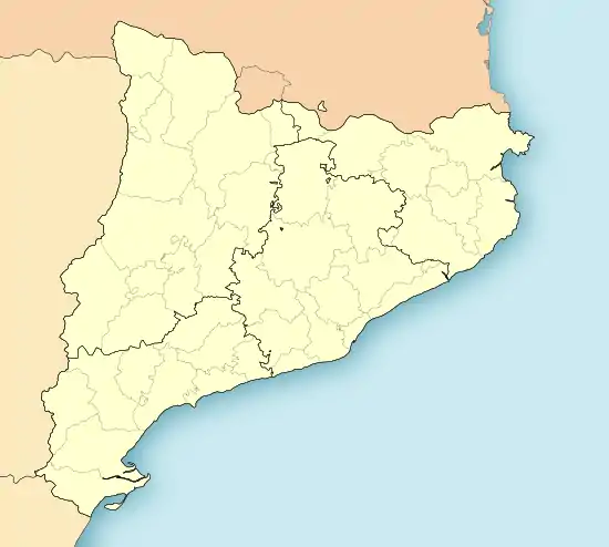 Montgat Location in Catalonia  Montgat Montgat (Spain) | |
| Coordinates: 41°28′08″N 2°16′50″E / 41.469°N 2.2805°E | |
| Autonomous community | Catalonia |
| Province | Barcelona |
| Government | |
| • Mayor | Rosa Funtané Vilà (2015)[1] |
| Area | |
| • Total | 2.9 km2 (1.1 sq mi) |
| Elevation | 20 m (70 ft) |
| Population (2018)[3] | |
| • Total | 11,819 |
| • Density | 4,100/km2 (11,000/sq mi) |
| Website | www |
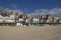
Montgat (Catalan pronunciation: [muŋˈɡat]) is a municipality in the comarca of the Maresme in Catalonia, Spain. It is situated on the coast between Badalona (Barcelonès) and El Masnou, to the north-east of Barcelona. The town is both a tourist centre and a (somewhat exclusive) dormitory town for Barcelona. The C-31 autopista, B-20 autopista, the main N-II road and a Renfe railway line run through the town.
Etymology
There are several theories about the origin of his name, one of them being that the origin is Iberian, from "Mons-Cot", which means "Mount of Stone". In a document of the Monastery of San Pedro de las Puellas, the name "Monte Chato" appears.
Demography
| 1900 | 1930 | 1950 | 1970 | 1986 | 2014 |
|---|---|---|---|---|---|
| n/a | n/a | 2911 | 5020 | 7276 | 11315 |
References
- ↑ "Ajuntament de Montgat". Generalitat of Catalonia. Retrieved 2015-11-13.
- ↑ "El municipi en xifres: Montgat". Statistical Institute of Catalonia. Retrieved 2015-11-23.
- ↑ Municipal Register of Spain 2018. National Statistics Institute.
External links
- Official website (in Catalan)
- Government data pages (in Catalan)
Places adjacent to Montgat | ||||||||||||||||
|---|---|---|---|---|---|---|---|---|---|---|---|---|---|---|---|---|
| ||||||||||||||||
.svg.png.webp)
This article is issued from Wikipedia. The text is licensed under Creative Commons - Attribution - Sharealike. Additional terms may apply for the media files.