Saint-Gilles-Pligeaux
Sant-Jili-Plijo | |
|---|---|
_%C3%89glise_01.JPG.webp) The church of Saint-Gilles, in Saint-Gilles-Pligeaux | |
.svg.png.webp) Coat of arms | |
Location of Saint-Gilles-Pligeaux | |
 Saint-Gilles-Pligeaux 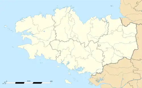 Saint-Gilles-Pligeaux | |
| Coordinates: 48°22′51″N 3°05′36″W / 48.3808°N 3.0933°W | |
| Country | France |
| Region | Brittany |
| Department | Côtes-d'Armor |
| Arrondissement | Guingamp |
| Canton | Rostrenen |
| Intercommunality | Kreiz-Breizh |
| Government | |
| • Mayor (2020–2026) | Gildas Guyader[1] |
| Area 1 | 19.45 km2 (7.51 sq mi) |
| Population | 304 |
| • Density | 16/km2 (40/sq mi) |
| Time zone | UTC+01:00 (CET) |
| • Summer (DST) | UTC+02:00 (CEST) |
| INSEE/Postal code | 22294 /22480 |
| Elevation | 183–302 m (600–991 ft) |
| 1 French Land Register data, which excludes lakes, ponds, glaciers > 1 km2 (0.386 sq mi or 247 acres) and river estuaries. | |
Saint-Gilles-Pligeaux (French pronunciation: [sɛ̃ ʒil pliʒo]; Breton: Sant-Jili-Plijo) is a commune in the Côtes-d'Armor department of Brittany in northwestern France.
Population
|
|
Inhabitants of Saint-Gilles-Pligeaux are called saint-gillois in French.
See also
References
- ↑ "Répertoire national des élus: les maires". data.gouv.fr, Plateforme ouverte des données publiques françaises (in French). 2 December 2020.
- ↑ "Populations légales 2020". The National Institute of Statistics and Economic Studies. 29 December 2022.
External links
Wikimedia Commons has media related to Saint-Gilles-Pligeaux.
- Base Mérimée: Search for heritage in the commune, Ministère français de la Culture. (in French)
This article is issued from Wikipedia. The text is licensed under Creative Commons - Attribution - Sharealike. Additional terms may apply for the media files.