Mellionnec
Melioneg | |
|---|---|
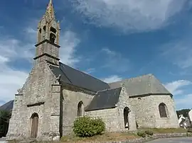 The parish church | |
Location of Mellionnec | |
 Mellionnec 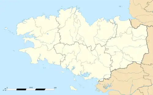 Mellionnec | |
| Coordinates: 48°10′32″N 3°17′43″W / 48.1756°N 3.2953°W | |
| Country | France |
| Region | Brittany |
| Department | Côtes-d'Armor |
| Arrondissement | Guingamp |
| Canton | Rostrenen |
| Intercommunality | Kreiz-Breizh |
| Government | |
| • Mayor (2020–2026) | Marie-José Fercoq[1] |
| Area 1 | 24.22 km2 (9.35 sq mi) |
| Population | 395 |
| • Density | 16/km2 (42/sq mi) |
| Time zone | UTC+01:00 (CET) |
| • Summer (DST) | UTC+02:00 (CEST) |
| INSEE/Postal code | 22146 /22110 |
| Elevation | 143–281 m (469–922 ft) |
| 1 French Land Register data, which excludes lakes, ponds, glaciers > 1 km2 (0.386 sq mi or 247 acres) and river estuaries. | |
Mellionnec (French pronunciation: [mɛljɔnɛk]; Breton: Melioneg) is a commune in the Côtes-d'Armor department in Brittany in northwestern France. The chapel of La Pitié is situated in the commune.
Population
Inhabitants of Mellionnec are called mellionnecais in French. Population is steadily falling since 1990 after declining quickly.
|
| |||||||||||||||||||||||||||||||||||||||||||||||||||||||||||||||||||||||||||||||||||||||||||||||||||||||||||||||
Map

Civil heritage
- Trégarantec castle
See also
References
- ↑ "Répertoire national des élus: les maires". data.gouv.fr, Plateforme ouverte des données publiques françaises (in French). 2 December 2020.
- ↑ "Populations légales 2020". The National Institute of Statistics and Economic Studies. 29 December 2022.
External links
Wikimedia Commons has media related to Mellionnec.
- Base Mérimée: Search for heritage in the commune, Ministère français de la Culture. (in French)
This article is issued from Wikipedia. The text is licensed under Creative Commons - Attribution - Sharealike. Additional terms may apply for the media files.