Narela | |
|---|---|
village | |
 Narela 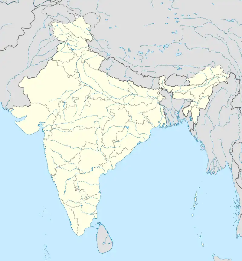 Narela | |
| Coordinates: 23°09′53″N 77°15′28″E / 23.164763°N 77.2577571°E | |
| Country | India |
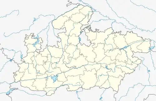
| State | Madhya Pradesh |
| District | Bhopal |
| Tehsil | Huzur |
| Elevation | 522 m (1,713 ft) |
| Population (2011) | |
| • Total | 959 |
| Time zone | UTC+5:30 (IST) |
| ISO 3166 code | MP-IN |
| 2011 census code | 482495 |
Narela is a village in the Bhopal district of Madhya Pradesh, India. It is located in the Huzur tehsil and the Phanda block.[1]
Demographics
According to the 2011 census of India, Narela has 174 households. The effective literacy rate (i.e. the literacy rate of population excluding children aged 6 and below) is 72.76%.[2]
| Total | Male | Female | |
|---|---|---|---|
| Population | 959 | 513 | 446 |
| Children aged below 6 years | 122 | 75 | 47 |
| Scheduled caste | 44 | 22 | 22 |
| Scheduled tribe | 0 | 0 | 0 |
| Literates | 609 | 375 | 234 |
| Workers (all) | 367 | 241 | 126 |
| Main workers (total) | 333 | 220 | 113 |
| Main workers: Cultivators | 279 | 178 | 101 |
| Main workers: Agricultural labourers | 3 | 0 | 3 |
| Main workers: Household industry workers | 3 | 3 | 0 |
| Main workers: Other | 48 | 39 | 9 |
| Marginal workers (total) | 34 | 21 | 13 |
| Marginal workers: Cultivators | 3 | 1 | 2 |
| Marginal workers: Agricultural labourers | 30 | 19 | 11 |
| Marginal workers: Household industry workers | 0 | 0 | 0 |
| Marginal workers: Others | 1 | 1 | 0 |
| Non-workers | 592 | 272 | 320 |
References
- ↑ "RFP Document for Establishing Operating and Maintaining Lok Seva Kendra" (PDF). E-Governance Society Bhopal District. Archived from the original (PDF) on 4 March 2016. Retrieved 25 July 2015.
- 1 2 "District Census Handbook - Bhopal" (PDF). 2011 Census of India. Directorate of Census Operations, Madhya Pradesh. Retrieved 20 July 2015.
This article is issued from Wikipedia. The text is licensed under Creative Commons - Attribution - Sharealike. Additional terms may apply for the media files.