La Motte
Ar Voudenn | |
|---|---|
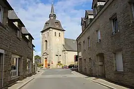 The church of La Motte | |
Location of La Motte | |
 La Motte 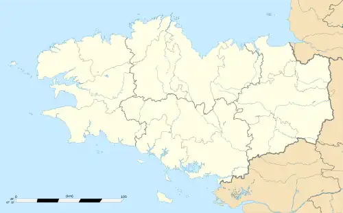 La Motte | |
| Coordinates: 48°14′09″N 2°43′52″W / 48.2358°N 2.7311°W | |
| Country | France |
| Region | Brittany |
| Department | Côtes-d'Armor |
| Arrondissement | Saint-Brieuc |
| Canton | Guerlédan |
| Intercommunality | Loudéac Communauté - Bretagne Centre |
| Government | |
| • Mayor (2020–2026) | Henri Flageul[1] |
| Area 1 | 43.03 km2 (16.61 sq mi) |
| Population | 2,146 |
| • Density | 50/km2 (130/sq mi) |
| Time zone | UTC+01:00 (CET) |
| • Summer (DST) | UTC+02:00 (CEST) |
| INSEE/Postal code | 22155 /22600 |
| Elevation | 96–278 m (315–912 ft) |
| 1 French Land Register data, which excludes lakes, ponds, glaciers > 1 km2 (0.386 sq mi or 247 acres) and river estuaries. | |
La Motte (French pronunciation: [la mɔt]; Breton: ar Voudenn; Gallo: La Mott) is a commune in the Côtes-d'Armor department of Brittany in northwestern France.
Population
Inhabitants of La Motte are called mottérieux in French.
| Year | Pop. | ±% p.a. |
|---|---|---|
| 1968 | 1,473 | — |
| 1975 | 1,536 | +0.60% |
| 1982 | 1,834 | +2.57% |
| 1990 | 1,838 | +0.03% |
| 1999 | 1,773 | −0.40% |
| 2007 | 1,992 | +1.47% |
| 2012 | 2,088 | +0.95% |
| 2017 | 2,131 | +0.41% |
| Source: INSEE[3] | ||
See also
References
- ↑ "Répertoire national des élus: les maires". data.gouv.fr, Plateforme ouverte des données publiques françaises (in French). 9 August 2021.
- ↑ "Populations légales 2020". The National Institute of Statistics and Economic Studies. 29 December 2022.
- ↑ Population en historique depuis 1968, INSEE
Wikimedia Commons has media related to La Motte (Côtes-d'Armor).
This article is issued from Wikipedia. The text is licensed under Creative Commons - Attribution - Sharealike. Additional terms may apply for the media files.