Therien | |
|---|---|
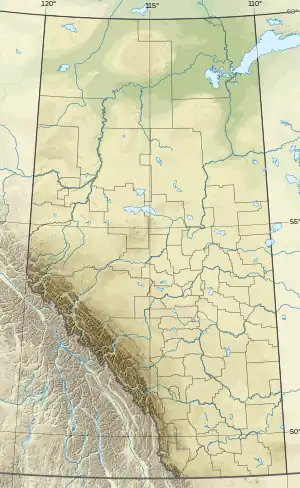 Therien Location of Therien 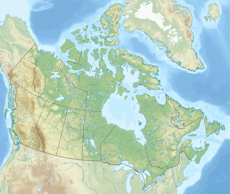 Therien Therien (Canada) | |
| Coordinates: 54°14′22″N 111°15′13″W / 54.23944°N 111.25361°W | |
| Country | Canada |
| Province | Alberta |
| Region | Central Alberta |
| Census division | 12 |
| Municipal district | Municipal District of Bonnyville No. 87 |
| Government | |
| • Type | Unincorporated |
| • Governing body | Municipal District of Bonnyville No. 87 Council |
| Population (2014)[1] | |
| • Total | 71 |
| Time zone | UTC−07:00 (MST) |
| • Summer (DST) | UTC−06:00 (MDT) |
| Area code(s) | 780, 587, 825 |
Therien is a hamlet in central Alberta, Canada within the Municipal District of Bonnyville No. 87,[2] located approximately 7 kilometres (4.3 mi) north of Highway 28 and 74 kilometres (46 mi) southwest of Cold Lake. Therien had a population of 71 in 2014.[3]
Demographics
The population of Therien according to the 2014 municipal census conducted by the Municipal District of Bonnyville No. 87 is 71.[1]
See also
References
- 1 2 "MD of Bonnyville 2014 Census Results". Municipal District of Bonnyville No. 87. p. 1. Retrieved September 25, 2021.
- ↑ "Specialized and Rural Municipalities and Their Communities" (PDF). Alberta Municipal Affairs. January 12, 2022. Retrieved January 21, 2022.
- ↑ "Archived copy". Archived from the original on March 3, 2022. Retrieved August 24, 2021.
{{cite web}}: CS1 maint: archived copy as title (link)
This article is issued from Wikipedia. The text is licensed under Creative Commons - Attribution - Sharealike. Additional terms may apply for the media files.