Satna Airport | |||||||||||
|---|---|---|---|---|---|---|---|---|---|---|---|
| Summary | |||||||||||
| Airport type | Public | ||||||||||
| Operator | Airport Authority of India | ||||||||||
| Location | Satna, Madhya Pradesh | ||||||||||
| Elevation AMSL | 1,060 ft / 323 m | ||||||||||
| Coordinates | 24°33′26″N 080°51′48″E / 24.55722°N 80.86333°E / 24.55722; 80.86333 | ||||||||||
| Map | |||||||||||
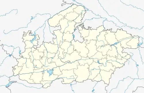 TNI Location in Madhya Pradesh Show map of Madhya Pradesh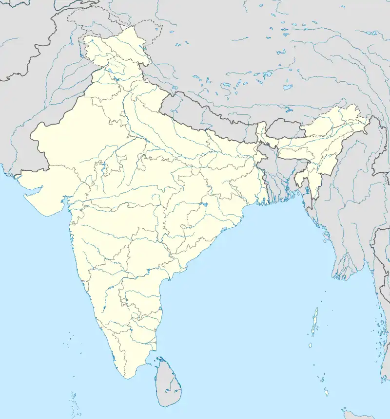 TNI TNI (India) Show map of India | |||||||||||
| Runways | |||||||||||
| |||||||||||
Satna Airport (IATA: TNI, ICAO: VIST) is a domestic airport near Satna in Madhya Pradesh, India.
See also
References
| |||||||||||||||||||||||||||||||||||||||||||||||||||||||||||||||||||||||||||
| |||||||||||||||||||||||||||||||||||||||||||||||||||||||||||||||||||||||||||
| |||||||||||||||||||||||||||||||||||||||||||||||||||||||||||||||||||||||||||
| |||||||||||||||||||||||||||||||||||||||||||||||||||||||||||||||||||||||||||
| |||||||||||||||||||||||||||||||||||||||||||||||||||||||||||||||||||||||||||
This article is issued from Wikipedia. The text is licensed under Creative Commons - Attribution - Sharealike. Additional terms may apply for the media files.