Muirpur Airport | |||||||||||
|---|---|---|---|---|---|---|---|---|---|---|---|
| Summary | |||||||||||
| Airport type | Government | ||||||||||
| Owner | Government of Uttar Pradesh | ||||||||||
| Operator | Government of Uttar Pradesh | ||||||||||
| Serves | Sonbhadra, Singrauli | ||||||||||
| Location | Muirpur, Sonbhadra, Uttar Pradesh, India | ||||||||||
| Elevation AMSL | 1,122 ft / 342 m | ||||||||||
| Coordinates | 24°07′33″N 083°02′36″E / 24.12583°N 83.04333°E | ||||||||||
| Map | |||||||||||
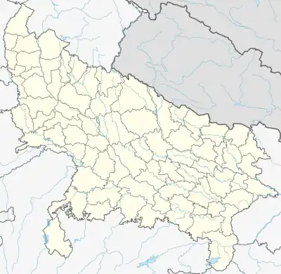 VI1D Location of the airport in Uttar Pradesh  VI1D VI1D (India) | |||||||||||
| Runways | |||||||||||
| |||||||||||
Muirpur Airport also spelled as Myorpur Airport is an airport, situated at Myorpur approx 12 km from the Renukut in the Sonbhadra district in the Indian state of Uttar Pradesh.[1] Airport is developing by upgrading the existing government airstrip.[2][3] It serves nearby towns, Northern Coalfields Limited (NCL) (coal fields),NTPC projects Renukut and Robertsganj, the Other towns of Sonbhadra and Singrauli district. The airport serves the region which has many electrical power stations, known as "Energy Capital of India". It’s 26.5 km away from DUDHI TEHSIL.
Communities served
- OYNEERAJ OPC PVT LTD
- Rihandnagar NTPC
- Shaktinagar NTPC
- Vindhyanagar NTPC
- Anpara UPRVUNL
- Obra UPRVUNL
- Renusagar UPRVUNL
- Pipri UPRVUNL
- Singrauli
- Renusagar Hindalco
- Finiva Group Of Company
- Finiva Nidhi Limited
- Finiva Financial Limited
- Finiva Tech Limited
- Finiva Retail Limited
- Dalla Dalla Cement Factory etc.
See also
References
- ↑ http://cadup.gov.in/devofairport.htm
- ↑ "Untitled Page". Archived from the original on 8 March 2019. Retrieved 10 March 2019.
- ↑ http://cadup.gov.in/devofairport.htm
This article is issued from Wikipedia. The text is licensed under Creative Commons - Attribution - Sharealike. Additional terms may apply for the media files.