Raumarais Park | |
|---|---|
 Raumarais Park 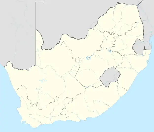 Raumarais Park | |
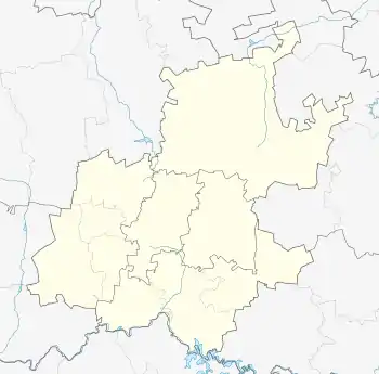
| Coordinates: 26°07′12″S 28°04′44″E / 26.120°S 28.079°E | |
| Country | South Africa |
| Province | Gauteng |
| Municipality | City of Johannesburg |
| Main Place | Johannesburg |
| Area | |
| • Total | 0.23 km2 (0.09 sq mi) |
| Population (2011)[1] | |
| • Total | 435 |
| • Density | 1,900/km2 (4,900/sq mi) |
| Racial makeup (2011) | |
| • Black African | 51.8% |
| • Coloured | 6.2% |
| • Indian/Asian | 12.0% |
| • White | 22.8% |
| • Other | 7.1% |
| First languages (2011) | |
| • English | 61.3% |
| • Zulu | 9.4% |
| • Tswana | 6.9% |
| • Northern Sotho | 5.8% |
| • Other | 16.6% |
| Time zone | UTC+2 (SAST) |
Raumarais Park is a suburb of Johannesburg, South Africa. The suburb lies north of Bramley. It is located in Region E of the City of Johannesburg Metropolitan Municipality.
History
The suburb is situated on part of an old Witwatersrand farm called Syferfontein.[2] It is named after the land owner Magdelena Johanna Rautenbach née Marais.[2] It became a suburb on 30 July 1947.[2]
References
This article is issued from Wikipedia. The text is licensed under Creative Commons - Attribution - Sharealike. Additional terms may apply for the media files.