Langaville | |
|---|---|
 Langaville 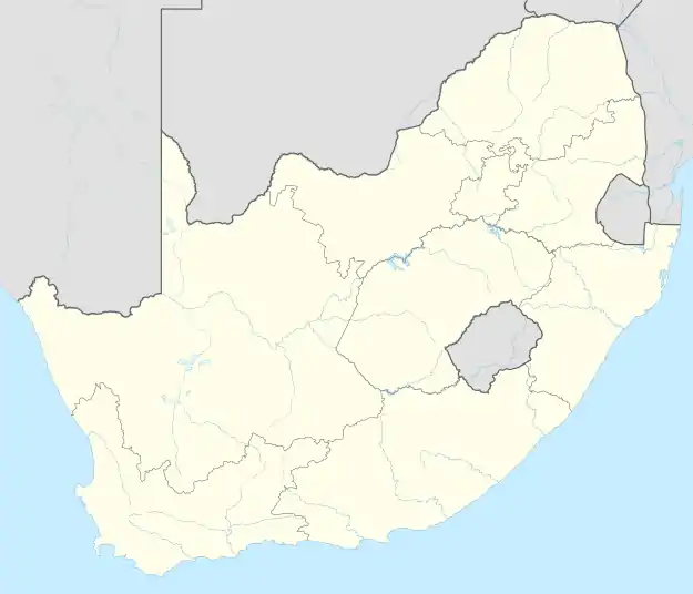 Langaville | |
| Coordinates: 26°21′24″S 28°22′18″E / 26.35667°S 28.37167°E | |
| Country | South Africa |
| Province | Gauteng |
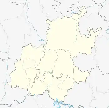
| Municipality | Ekurhuleni |
| Area | |
| • Total | 10.10 km2 (3.90 sq mi) |
| Population (2011)[1] | |
| • Total | 54,710 |
| • Density | 5,400/km2 (14,000/sq mi) |
| Racial makeup (2011) | |
| • Black African | 98.95% |
| • Other | 0.41% |
| • Coloured | 0.41% |
| • Indian/Asian | 0.17% |
| • White | 0.06% |
| First languages (2011) | |
| • Zulu | 46.17% |
| • Northern Sotho | 11.90% |
| • Tsonga | 10.41% |
| • Xhosa | 8.95% |
| • Sotho | 6.95% |
| Time zone | UTC+2 (SAST) |
Langaville is a township located near Tsakane, in Gauteng province, South Africa.
References
- 1 2 3 4 "Main Place Langaville". Census 2011.
Communities of Ekurhuleni, Gauteng | ||
|---|---|---|
Seat: Germiston | ||
| Places in Ekurhuleni | .svg.png.webp) Ekurhuleni within South Africa | |
| Suburbs of Kempton Park | ||
This article is issued from Wikipedia. The text is licensed under Creative Commons - Attribution - Sharealike. Additional terms may apply for the media files.