Porspoder
Porspoder | |
|---|---|
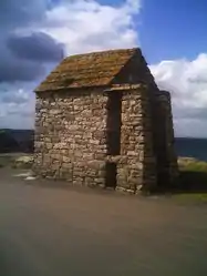 Port Melon | |
Location of Porspoder | |
 Porspoder 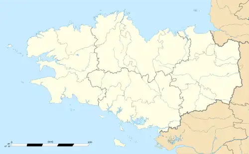 Porspoder | |
| Coordinates: 48°30′34″N 4°45′51″W / 48.5094°N 4.7642°W | |
| Country | France |
| Region | Brittany |
| Department | Finistère |
| Arrondissement | Brest |
| Canton | Saint-Renan |
| Intercommunality | Pays d'Iroise |
| Government | |
| • Mayor (2020–2026) | Yves Robin[1] |
| Area 1 | 11.29 km2 (4.36 sq mi) |
| Population | 1,764 |
| • Density | 160/km2 (400/sq mi) |
| Time zone | UTC+01:00 (CET) |
| • Summer (DST) | UTC+02:00 (CEST) |
| INSEE/Postal code | 29221 /29840 |
| Elevation | 0–61 m (0–200 ft) |
| 1 French Land Register data, which excludes lakes, ponds, glaciers > 1 km2 (0.386 sq mi or 247 acres) and river estuaries. | |
Porspoder (French pronunciation: [pɔʁspɔdɛʁ]; Breton: Porspoder) is a commune in the Finistère department of Brittany in north-western France.
Population
| Year | Pop. | ±% p.a. |
|---|---|---|
| 1968 | 1,461 | — |
| 1975 | 1,324 | −1.40% |
| 1982 | 1,309 | −0.16% |
| 1990 | 1,373 | +0.60% |
| 1999 | 1,567 | +1.48% |
| 2009 | 1,692 | +0.77% |
| 2014 | 1,808 | +1.34% |
| 2020 | 1,764 | −0.41% |
| Source: INSEE[3] | ||
Inhabitants of Porspoder are called in French Porspodériens.
See also
References
- ↑ "Répertoire national des élus: les maires". data.gouv.fr, Plateforme ouverte des données publiques françaises (in French). 2 December 2020.
- ↑ "Populations légales 2020". The National Institute of Statistics and Economic Studies. 29 December 2022.
- ↑ Population en historique depuis 1968, INSEE
External links
Wikimedia Commons has media related to Porspoder.
- Official website (in French)
- Base Mérimée: Search for heritage in the commune, Ministère français de la Culture. (in French)
- Mayors of Finistère Association (in French)
This article is issued from Wikipedia. The text is licensed under Creative Commons - Attribution - Sharealike. Additional terms may apply for the media files.