Montreal Lake 106B | |
|---|---|
| Montreal Lake Indian Reserve No. 106B | |
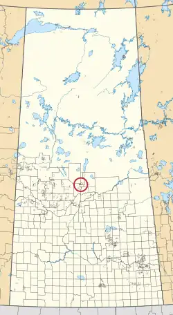 Location in Saskatchewan | |
| First Nation | Montreal Lake |
| Country | Canada |
| Province | Saskatchewan |
| Area | |
| • Total | 2,331.7 ha (5,761.8 acres) |
| Population (2016)[2] | |
| • Total | 442 |
| • Density | 19/km2 (49/sq mi) |
| Community Well-Being Index[3] | 47 |
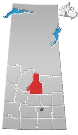
Montreal Lake 106B is an Indian reserve of the Montreal Lake Cree Nation in Saskatchewan.[1][4] It is adjacent to Little Red River 106C and 39 kilometres (24 mi) north of Prince Albert. In the 2016 Canadian Census, it recorded a population of 442 living in 113 of its 118 total private dwellings.[2] In the same year, its Community Well-Being index was calculated at 47 of 100, compared to 58.4 for the average First Nations community and 77.5 for the average non-Indigenous community.[3]
References
- 1 2 "Reserve/Settlement/Village Detail". Crown–Indigenous Relations and Northern Affairs Canada. Government of Canada. Retrieved August 12, 2019.
- 1 2 "Census Profile, 2016 Census". Statistics Canada. February 8, 2017. Retrieved August 10, 2019.
- 1 2 "The Community Well-Being index". Indigenous Services Canada. May 24, 2019. Retrieved October 9, 2019.
- ↑ "Canada Lands Survey System - CLSS Map Browser". Natural Resources Canada. Retrieved October 9, 2019.
53°31′54″N 106°00′14″W / 53.5316°N 106.0039°W
This article is issued from Wikipedia. The text is licensed under Creative Commons - Attribution - Sharealike. Additional terms may apply for the media files.