Meironiškėliai | |
|---|---|
Village | |
 | |
 Meironiškėliai Location in Lithuania 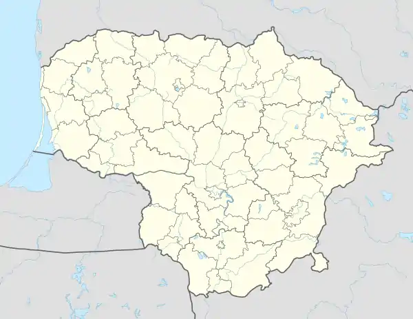 Meironiškėliai Meironiškėliai (Lithuania) | |
| Coordinates: 55°22′41″N 23°45′11″E / 55.37806°N 23.75306°E | |
| Country | |
| County | |
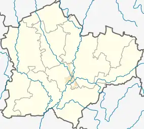
| Municipality | Kėdainiai district municipality |
| Eldership | Krakės Eldership |
| Population (2011) | |
| • Total | 18 |
| Time zone | UTC+2 (EET) |
| • Summer (DST) | UTC+3 (EEST) |
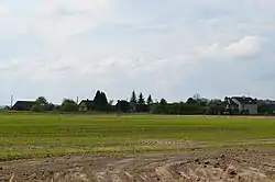
Meironiškėliai (formerly Russian: Мейронишкели) is a village in Kėdainiai district municipality, in Kaunas County, in central Lithuania. According to the 2011 census, the village had a population of 18 people.[1] It is located 3 kilometres (1.9 mi) from Krakės, 1 kilometre (0.62 mi) from Meironiškiai, between the Smilgaitis river and the Krakės-Dotnuva Forest.
Demography
|
| ||||||||||||||||||||||||||||||
| Source: 1902, 1923, 1959 & 1970, 1979, 1989, 2001, 2011 | |||||||||||||||||||||||||||||||
References
- ↑ "2011 census". Statistikos Departamentas (Lithuania). Retrieved August 21, 2017.
This article is issued from Wikipedia. The text is licensed under Creative Commons - Attribution - Sharealike. Additional terms may apply for the media files.