Maison-Roland | |
|---|---|
.JPG.webp) The church in Maison-Roland | |
 Coat of arms | |
Location of Maison-Roland | |
 Maison-Roland 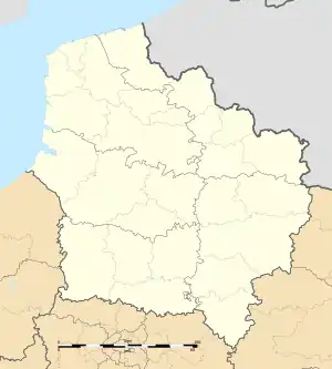 Maison-Roland | |
| Coordinates: 50°07′45″N 2°01′21″E / 50.1292°N 2.0225°E | |
| Country | France |
| Region | Hauts-de-France |
| Department | Somme |
| Arrondissement | Abbeville |
| Canton | Rue |
| Intercommunality | CC Ponthieu-Marquenterre |
| Government | |
| • Mayor (2020–2026) | Murielle Dulary[1] |
| Area 1 | 4.91 km2 (1.90 sq mi) |
| Population | 100 |
| • Density | 20/km2 (53/sq mi) |
| Time zone | UTC+01:00 (CET) |
| • Summer (DST) | UTC+02:00 (CEST) |
| INSEE/Postal code | 80502 /80135 |
| Elevation | 63–123 m (207–404 ft) (avg. 129 m or 423 ft) |
| 1 French Land Register data, which excludes lakes, ponds, glaciers > 1 km2 (0.386 sq mi or 247 acres) and river estuaries. | |
Maison-Roland (French pronunciation: [mɛzɔ̃ ʁɔlɑ̃]) is a commune in the Somme department in Hauts-de-France in northern France.
Geography
The commune is situated on the D108e road, some 11 miles (18 km) east-northeast of Abbeville.
Population
| Year | Pop. | ±% p.a. |
|---|---|---|
| 1968 | 156 | — |
| 1975 | 145 | −1.04% |
| 1982 | 141 | −0.40% |
| 1990 | 128 | −1.20% |
| 1999 | 109 | −1.77% |
| 2007 | 112 | +0.34% |
| 2012 | 120 | +1.39% |
| 2017 | 106 | −2.45% |
| Source: INSEE[3] | ||
Places of interest
- The church at Maison-Roland
See also
References
- ↑ "Répertoire national des élus: les maires". data.gouv.fr, Plateforme ouverte des données publiques françaises (in French). 2 December 2020.
- ↑ "Populations légales 2020". The National Institute of Statistics and Economic Studies. 29 December 2022.
- ↑ Population en historique depuis 1968, INSEE
Wikimedia Commons has media related to Maison-Roland.
This article is issued from Wikipedia. The text is licensed under Creative Commons - Attribution - Sharealike. Additional terms may apply for the media files.