| Mahaffey Glacier | |
|---|---|
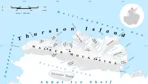 Map of Thurston Island | |
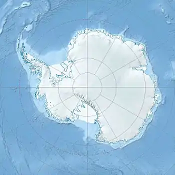 Location of Mahaffey Glacier in Antarctica | |
| Location | Ellsworth Land |
| Coordinates | 72°18′00″S 96°26′00″W / 72.30000°S 96.43333°W / -72.30000; -96.43333 |
| Thickness | unknown |
| Terminus | Morgan Inlet |
| Status | unknown |
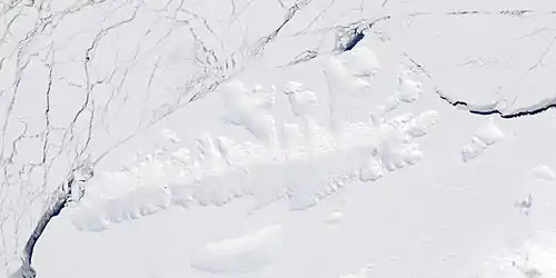
Satellite image of Thurston Island.
Mahaffey Glacier (72°18′S 96°26′W / 72.300°S 96.433°W / -72.300; -96.433) is a glacier flowing into the head of Morgan Inlet at the east end of Thurston Island, Antarctica. It was named by the Advisory Committee on Antarctic Names after J.S. Mahaffey, a Photographer's Mate in the Eastern Group of U.S. Navy Operation Highjump, which obtained aerial photographs of Thurston Island and adjacent coastal areas in 1946–47.[1]
See also
Maps
- Thurston Island – Jones Mountains. 1:500000 Antarctica Sketch Map. US Geological Survey, 1967.
- Antarctic Digital Database (ADD). Scale 1:250000 topographic map of Antarctica. Scientific Committee on Antarctic Research (SCAR). Since 1993, regularly upgraded and updated.
References
- ↑ "Mahaffey Glacier". Geographic Names Information System. United States Geological Survey, United States Department of the Interior. Retrieved 26 July 2013.
 This article incorporates public domain material from "Mahaffey Glacier". Geographic Names Information System. United States Geological Survey.
| Types | |||||||
|---|---|---|---|---|---|---|---|
| Anatomy | |||||||
| Processes | |||||||
| Measurements | |||||||
| Volcanic relations | |||||||
| Landforms |
| ||||||
| |||||||
This article is issued from Wikipedia. The text is licensed under Creative Commons - Attribution - Sharealike. Additional terms may apply for the media files.