La Tessoualle | |
|---|---|
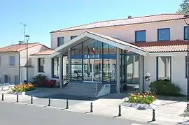 The town hall of La Tessoualle | |
Location of La Tessoualle | |
 La Tessoualle 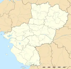 La Tessoualle | |
| Coordinates: 47°00′18″N 0°50′56″W / 47.005°N 0.849°W | |
| Country | France |
| Region | Pays de la Loire |
| Department | Maine-et-Loire |
| Arrondissement | Cholet |
| Canton | Cholet-2 |
| Intercommunality | CA Choletais |
| Government | |
| • Mayor (2020–2026) | Dominique Landreau[1] |
| Area 1 | 21.21 km2 (8.19 sq mi) |
| Population | 3,195 |
| • Density | 150/km2 (390/sq mi) |
| Time zone | UTC+01:00 (CET) |
| • Summer (DST) | UTC+02:00 (CEST) |
| INSEE/Postal code | 49343 /49280 |
| Elevation | 72–164 m (236–538 ft) (avg. 144 m or 472 ft) |
| 1 French Land Register data, which excludes lakes, ponds, glaciers > 1 km2 (0.386 sq mi or 247 acres) and river estuaries. | |
La Tessoualle (French pronunciation: [la teswal] ⓘ) is a commune in the Maine-et-Loire department in western France.
Population
| Year | Pop. | ±% p.a. |
|---|---|---|
| 1968 | 1,648 | — |
| 1975 | 2,052 | +3.18% |
| 1982 | 2,677 | +3.87% |
| 1990 | 2,781 | +0.48% |
| 1999 | 2,941 | +0.62% |
| 2007 | 3,032 | +0.38% |
| 2012 | 3,092 | +0.39% |
| 2017 | 3,198 | +0.68% |
| Source: INSEE[3] | ||
See also
References
- ↑ "Répertoire national des élus: les maires" (in French). data.gouv.fr, Plateforme ouverte des données publiques françaises. 13 September 2022.
- ↑ "Populations légales 2020". The National Institute of Statistics and Economic Studies. 29 December 2022.
- ↑ Population en historique depuis 1968, INSEE
Wikimedia Commons has media related to La Tessoualle.
This article is issued from Wikipedia. The text is licensed under Creative Commons - Attribution - Sharealike. Additional terms may apply for the media files.