Angrie | |
|---|---|
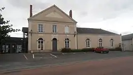 The town hall of Angrie | |
Location of Angrie | |
 Angrie 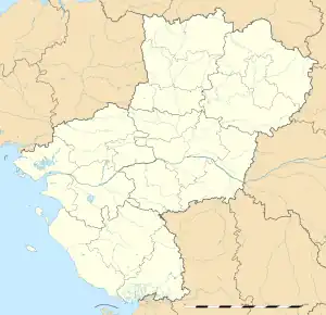 Angrie | |
| Coordinates: 47°34′15″N 0°58′20″W / 47.5708°N 0.9722°W | |
| Country | France |
| Region | Pays de la Loire |
| Department | Maine-et-Loire |
| Arrondissement | Segré |
| Canton | Segré-en-Anjou Bleu |
| Intercommunality | Anjou Bleu Communauté |
| Government | |
| • Mayor (2020–2026) | Marie-Noëlle Richard[1] |
| Area 1 | 40.93 km2 (15.80 sq mi) |
| Population | 922 |
| • Density | 23/km2 (58/sq mi) |
| Time zone | UTC+01:00 (CET) |
| • Summer (DST) | UTC+02:00 (CEST) |
| INSEE/Postal code | 49008 /49440 |
| Elevation | 36–88 m (118–289 ft) (avg. 64 m or 210 ft) |
| 1 French Land Register data, which excludes lakes, ponds, glaciers > 1 km2 (0.386 sq mi or 247 acres) and river estuaries. | |
Angrie (French pronunciation: [ɑ̃ɡʁi]) is a commune in the Maine-et-Loire department in western France.
Population
| Year | Pop. | ±% p.a. |
|---|---|---|
| 1968 | 925 | — |
| 1975 | 787 | −2.28% |
| 1982 | 704 | −1.58% |
| 1990 | 700 | −0.07% |
| 1999 | 678 | −0.35% |
| 2007 | 866 | +3.11% |
| 2012 | 979 | +2.48% |
| 2017 | 949 | −0.62% |
| Source: INSEE[3] | ||
See also
References
- ↑ "Répertoire national des élus: les maires". data.gouv.fr, Plateforme ouverte des données publiques françaises (in French). 2 December 2020.
- ↑ "Populations légales 2020". The National Institute of Statistics and Economic Studies. 29 December 2022.
- ↑ Population en historique depuis 1968, INSEE
Wikimedia Commons has media related to Angrie.
This article is issued from Wikipedia. The text is licensed under Creative Commons - Attribution - Sharealike. Additional terms may apply for the media files.