La Motte-Ternant | |
|---|---|
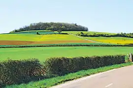 The Mont-Rond | |
Location of La Motte-Ternant | |
 La Motte-Ternant 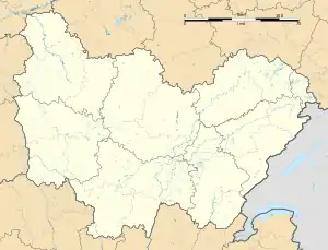 La Motte-Ternant | |
| Coordinates: 47°19′30″N 4°20′00″E / 47.325°N 4.3333°E | |
| Country | France |
| Region | Bourgogne-Franche-Comté |
| Department | Côte-d'Or |
| Arrondissement | Montbard |
| Canton | Semur-en-Auxois |
| Government | |
| • Mayor (2020–2026) | Jean-Louis Petit[1] |
| Area 1 | 21.32 km2 (8.23 sq mi) |
| Population | 147 |
| • Density | 6.9/km2 (18/sq mi) |
| Time zone | UTC+01:00 (CET) |
| • Summer (DST) | UTC+02:00 (CEST) |
| INSEE/Postal code | 21445 /21210 |
| Elevation | 333–476 m (1,093–1,562 ft) (avg. 350 m or 1,150 ft) |
| 1 French Land Register data, which excludes lakes, ponds, glaciers > 1 km2 (0.386 sq mi or 247 acres) and river estuaries. | |
La Motte-Ternant (French pronunciation: [la mɔt tɛʁnɑ̃]) is a commune in the Côte-d'Or department in eastern France.
Population
| Year | Pop. | ±% |
|---|---|---|
| 1962 | 133 | — |
| 1968 | 215 | +61.7% |
| 1975 | 213 | −0.9% |
| 1982 | 191 | −10.3% |
| 1990 | 185 | −3.1% |
| 1999 | 164 | −11.4% |
| 2008 | 167 | +1.8% |
See also
References
- ↑ "Répertoire national des élus: les maires". data.gouv.fr, Plateforme ouverte des données publiques françaises (in French). 2 December 2020.
- ↑ "Populations légales 2020". The National Institute of Statistics and Economic Studies. 29 December 2022.
Wikimedia Commons has media related to La Motte-Ternant.
This article is issued from Wikipedia. The text is licensed under Creative Commons - Attribution - Sharealike. Additional terms may apply for the media files.