| Kings Peak | |
|---|---|
 Kings Peak | |
| Highest point | |
| Elevation | 3,480 ft (1,060 m)[1] |
| Coordinates | 47°18′18″N 116°36′20″W / 47.3049085°N 116.6054458°W[2] |
| Geography | |
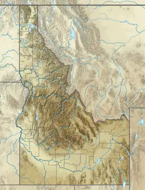
| Location | Benewah County, Idaho, U.S. |
| Topo map | USGS Saint Maries |
| Climbing | |
| Easiest route | gravel road |
Kings Peak is a mountain in Benewah County, Idaho, United States and is about 1 mile (1.6 km) southwest of the town of St. Maries.
References
- ↑ United States Geological Survey. Saint Maries, ID quadrangle (Topographic map). Reston, VA: United States Geological Survey – via TopoQuest.
- ↑ "Kings Peak". Geographic Names Information System. United States Geological Survey, United States Department of the Interior.
This article is issued from Wikipedia. The text is licensed under Creative Commons - Attribution - Sharealike. Additional terms may apply for the media files.