| Kiel Glacier | |
|---|---|
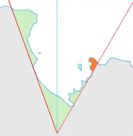 Location of King Edward VII Land (marked in orange) within the Ross Dependency | |
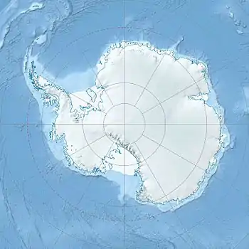 Location of Kiel Glacier in Antarctica | |
| Type | heavily crevassed |
| Location | King Edward VII Land |
| Coordinates | 78°08′S 154°15′W / 78.133°S 154.250°W / -78.133; -154.250 |
| Thickness | unknown |
| Status | unknown |
Kiel Glacier (78°8′S 154°15′W / 78.133°S 154.250°W / -78.133; -154.250) is a broad, heavily crevassed glacier descending southwest from Edward VII Peninsula, Antarctica, just east of the Rockefeller Mountains. The glacier was partially delineated from aerial photographs obtained by the Byrd Antarctic Expedition (1928–30) and subsequently was observed from the air by several U.S. expeditions to the area. It is named for driver Max R. Kiel, U.S. Navy, of the Mobile Construction Battalion, who lost his life on March 5, 1956, when his tractor fell into a crevasse about 20 nautical miles (40 km) westward of this glacier while attempting to establish a trail to Byrd Station.[1]
See also
References
![]() This article incorporates public domain material from "Kiel Glacier". Geographic Names Information System. United States Geological Survey.
This article incorporates public domain material from "Kiel Glacier". Geographic Names Information System. United States Geological Survey.
| Types | |||||||
|---|---|---|---|---|---|---|---|
| Anatomy | |||||||
| Processes | |||||||
| Measurements | |||||||
| Volcanic relations | |||||||
| Landforms |
| ||||||
| |||||||