| Jacka Glacier | |
|---|---|
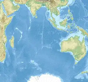
.svg.png.webp) Location of Heard Island and McDonald Islands on the globe | |
 Jacka Glacier | |
| Location | Heard Island and McDonald Islands |
| Coordinates | 53°6′S 73°24′E / 53.100°S 73.400°E / -53.100; 73.400 |
| Length | 0.8 nmi (1 km; 1 mi) |
| Thickness | unknown |
| Terminus | north coast |
| Status | unknown |
Jacka Glacier (53°0′S 73°20′E / 53.000°S 73.333°E / -53.000; 73.333) is a 0.8-mile (1.3 km) long glacier which flows northeast from Hayter Peak and terminates in icefalls opposite Vanhoffen Bluff on the north side of Heard Island in the southern Indian Ocean. The glacier appears to be roughly charted on an 1860 sketch map compiled by Captain H.C. Chester, an American sealer operating in the area during this period. It was surveyed in 1948 by the Australian National Antarctic Research Expeditions, and named by them for Fred J. Jacka, an expedition physicist.[1]
See also
References
External links
![]() This article incorporates public domain material from "Jacka Glacier". Geographic Names Information System. United States Geological Survey.
This article incorporates public domain material from "Jacka Glacier". Geographic Names Information System. United States Geological Survey.
| Types | |||||||
|---|---|---|---|---|---|---|---|
| Anatomy | |||||||
| Processes | |||||||
| Measurements | |||||||
| Volcanic relations | |||||||
| Landforms |
| ||||||
| |||||||
Glaciers of Heard Island and McDonald Islands | |
|---|---|
This article is issued from Wikipedia. The text is licensed under Creative Commons - Attribution - Sharealike. Additional terms may apply for the media files.