| Interpass Ridge | |
|---|---|
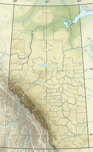 Interpass Ridge Location in Alberta and British Columbia | |
| Highest point | |
| Elevation | 2,301 m (7,549 ft)[1] |
| Prominence | 708 m (2,323 ft) |
| Coordinates | 53°36′34″N 119°56′00″W / 53.60944°N 119.93333°W |
| Geography | |
| Location | Alberta British Columbia |
| Parent range | Morkill Ranges |
| Topo map | NTS 83E12 Pauline Creek |
Interpass Ridge is located on the border of Alberta and British Columbia. It was named in 1924 by the Interprovincial Boundary Survey. It connects Avalanche Pass and Beaverdam Pass.[1][2]
See also
References
- 1 2 "Interpass Ridge". cdnrockiesdatabases.ca. Retrieved 2019-06-09.
- ↑ "Interpass Ridge". Bivouac.com. Retrieved 2019-06-09.
External links
This article is issued from Wikipedia. The text is licensed under Creative Commons - Attribution - Sharealike. Additional terms may apply for the media files.