| Hurley Glacier | |
|---|---|
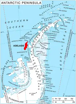 Location of Adelaide Island in the Antarctic Peninsula | |
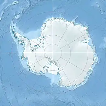 Location of Hurley Glacier in Antarctica | |
| Location | Adelaide Island |
| Coordinates | 67°34′S 68°32′W / 67.567°S 68.533°W / -67.567; -68.533 |
| Thickness | unknown |
| Terminus | Ryder Bay |
| Status | unknown |
Hurley Glacier (67°34′S 68°32′W / 67.567°S 68.533°W / -67.567; -68.533) is a glacier between Mount Gaudry and Mount Liotard, flowing east into Ryder Bay, Adelaide Island, Antarctica. It was named by the UK Antarctic Place-Names Committee in 1977 after Alec J. Hurley, a British Antarctic Survey mechanic at Halley Station, 1975–76, and Rothera Station, 1976–77.[1]
See also
References
 This article incorporates public domain material from "Hurley Glacier". Geographic Names Information System. United States Geological Survey.
| Stations and bases | |
|---|---|
| Hills, peaks, and nunatuks | |
| Glaciers | |
| Other inland features | |
| Coastal features | |
| Off-shore | |
| Areas | |
|---|---|
| Major ice shelves | |
| Seas and major islands | |
This article is issued from Wikipedia. The text is licensed under Creative Commons - Attribution - Sharealike. Additional terms may apply for the media files.