Antietam, Maryland | |
|---|---|
 Antietam, Maryland  Antietam, Maryland | |
| Coordinates: 39°24′58″N 77°44′32″W / 39.41611°N 77.74222°W | |
| Country | United States |
| State | Maryland |
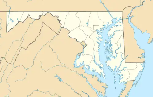
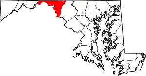
| County | Washington |
| Area | |
| • Total | 0.15 sq mi (0.40 km2) |
| • Land | 0.15 sq mi (0.40 km2) |
| • Water | 0.00 sq mi (0.00 km2) |
| Elevation | 308 ft (94 m) |
| Population (2020) | |
| • Total | 98 |
| • Density | 640.52/sq mi (246.59/km2) |
| Time zone | UTC−5 (Eastern (EST)) |
| • Summer (DST) | UTC−4 (EDT) |
| ZIP code | 21782[2] |
| Area codes | 301, 240 |
| FIPS code | 24-01750 |
| GNIS feature ID | 582905[3] |
Antietam is an unincorporated community and census-designated place in Washington County, Maryland, United States.[3] Its population was 89 as of the 2010 census.[4] It is the site of Antietam Iron Furnace Site and Antietam Village, added to the National Register of Historic Places in 1975.[5][6]
Geography
According to the U.S. Census Bureau, the community has an area of 0.153 square miles (0.40 km2), all land.[4]
Demographics
| Census | Pop. | Note | %± |
|---|---|---|---|
| 2020 | 98 | — | |
| U.S. Decennial Census[7] | |||
References
- ↑ "2020 U.S. Gazetteer Files". United States Census Bureau. Retrieved April 26, 2022.
- ↑ "Antietam MD ZIP Code". zipdatamaps.com. 2023. Retrieved April 18, 2023.
- 1 2 "Antietam". Geographic Names Information System. United States Geological Survey, United States Department of the Interior.
- 1 2 "2010 Census Gazetteer Files – Places: Maryland". U.S. Census Bureau. Retrieved February 10, 2017.
- ↑ "National Register Information System". National Register of Historic Places. National Park Service. April 15, 2008.
- ↑ Maryland Historical Trust: Listing for Antietam Iron Furnace Site and Antietam Village
- ↑ "Census of Population and Housing". Census.gov. Retrieved June 4, 2016.
This article is issued from Wikipedia. The text is licensed under Creative Commons - Attribution - Sharealike. Additional terms may apply for the media files.