Zirab District
Persian: بخش زیرآب | |
|---|---|
 Zirab District | |
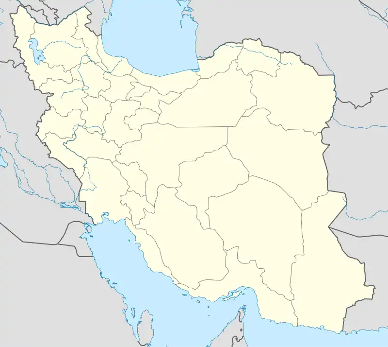
| Coordinates: 36°14′34″N 53°00′32″E / 36.24278°N 53.00889°E[1] | |
| Country | |
| Province | Mazandaran |
| County | Savadkuh |
| Population (2016)[2] | |
| • Total | 21,376 |
| Time zone | UTC+3:30 (IRST) |
Zirab District (Persian: بخش زیرآب) is in Savadkuh County, Mazandaran province, Iran.
After the 2011 National Census, Kaseliyan Rural District, Sorkhkola Rural District, and the city of Zirab were separated from the Central District in the establishment of Zirab District.
At the census in 2016, the district had 21,376 inhabitants in 7,125 households.[2]
| Administrative Divisions | 2016[2] |
|---|---|
| Kaseliyan RD | 4,217 |
| Sorkhkola RD | 968 |
| Zirab (city) | 16,191 |
| Total | 21,376 |
| RD: Rural District | |
References
- ↑ OpenStreetMap contributors (31 May 2023). "Zirab District (Savadkuh County)" (Map). OpenStreetMap. Retrieved 31 May 2023.
- 1 2 3 "Census of the Islamic Republic of Iran, 1395 (2016)". AMAR (in Persian). The Statistical Center of Iran. p. 02. Archived from the original (Excel) on 7 October 2021. Retrieved 19 December 2022.
This article is issued from Wikipedia. The text is licensed under Creative Commons - Attribution - Sharealike. Additional terms may apply for the media files.