Ziano Piacentino | |
|---|---|
| Comune di Ziano Piacentino | |
_-_BEIC_6339178.jpg.webp) Castle of Montalbo in 1981. | |
Location of Ziano Piacentino | |
 Ziano Piacentino Location of Ziano Piacentino in Italy 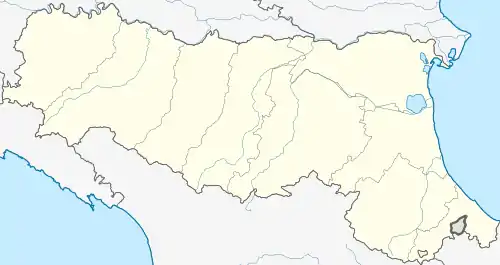 Ziano Piacentino Ziano Piacentino (Emilia-Romagna) | |
| Coordinates: 45°0′N 9°24′E / 45.000°N 9.400°E | |
| Country | Italy |
| Region | Emilia-Romagna |
| Province | Piacenza (PC) |
| Government | |
| • Mayor | Manuel Ghilardelli |
| Area | |
| • Total | 32.78 km2 (12.66 sq mi) |
| Elevation | 220 m (720 ft) |
| Population (28 February 2017)[2] | |
| • Total | 2,534 |
| • Density | 77/km2 (200/sq mi) |
| Demonym | Zianesi |
| Time zone | UTC+1 (CET) |
| • Summer (DST) | UTC+2 (CEST) |
| Postal code | 29010 |
| Dialing code | 0523 |
| Patron saint | St. Paul |
| Saint day | 25 January |
| Website | Official website |
Ziano Piacentino (Piacentino: Ṡiàn) is a comune (municipality) in the Province of Piacenza in the Italian region Emilia-Romagna, located about 160 kilometres (99 mi) northwest of Bologna and about 25 kilometres (16 mi) west of Piacenza. Ziano Piacentino borders the following municipalities: Alta Val Tidone, Borgonovo Val Tidone, Castel San Giovanni, Rovescala, Santa Maria della Versa.
Twin towns
Ziano Piacentino is twinned with:
 Pont-de-l'Isère, France
References
- ↑ "Superficie di Comuni Province e Regioni italiane al 9 ottobre 2011". Italian National Institute of Statistics. Retrieved 16 March 2019.
- ↑ "Popolazione Residente al 1° Gennaio 2018". Italian National Institute of Statistics. Retrieved 16 March 2019.

This article is issued from Wikipedia. The text is licensed under Creative Commons - Attribution - Sharealike. Additional terms may apply for the media files.