Zartlahn District | |
|---|---|
District | |
 Zartlahn District | |
| Coordinates: 5°39′28″N 9°30′32″W / 5.65778°N 9.50889°W | |
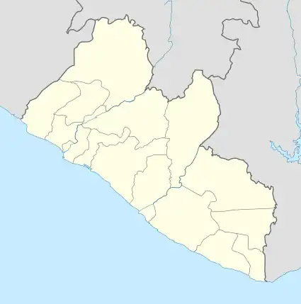
| Country | Liberia |
| County | Rivercess County |
| Elevation | 94 m (308 ft) |
| Population (2008) | |
| • Total | 7,146 |
| Time zone | UTC+0 |
| Geocode | 9645149 |
Zartlahn District is one of 8 districts of Rivercess County, Liberia. As of 2008, the population was 7,146.[1]
Climate
| Zarflahn District | ||||||||||||||||||||||||||||||||||||||||||||||||||||||||||||
|---|---|---|---|---|---|---|---|---|---|---|---|---|---|---|---|---|---|---|---|---|---|---|---|---|---|---|---|---|---|---|---|---|---|---|---|---|---|---|---|---|---|---|---|---|---|---|---|---|---|---|---|---|---|---|---|---|---|---|---|---|
| Climate chart (explanation) | ||||||||||||||||||||||||||||||||||||||||||||||||||||||||||||
| ||||||||||||||||||||||||||||||||||||||||||||||||||||||||||||
| ||||||||||||||||||||||||||||||||||||||||||||||||||||||||||||
References
- ↑ "2008 Population and Housing Census" (PDF). Government of the Republic of Liberia. May 11, 2009. Retrieved 2010-03-08.
- ↑ "NASA Earth Observations Data Set Index". NASA. Retrieved 30 Jan 2016.
This article is issued from Wikipedia. The text is licensed under Creative Commons - Attribution - Sharealike. Additional terms may apply for the media files.