Zai | |
|---|---|
Town | |
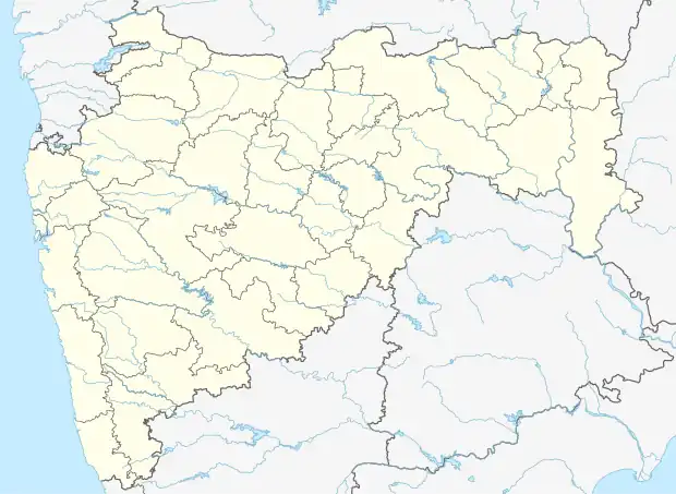 Zai Location in Maharashtra, India 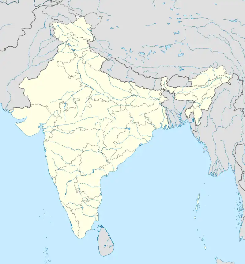 Zai Zai (India) | |
| Coordinates: 20°07′56″N 72°44′19″E / 20.1322414°N 72.7385323°E | |
| Country | India |
| State | Maharashtra |
| District | Palghar |
| Taluka | Talasari |
| Elevation | 11 m (36 ft) |
| Population (2011) | |
| • Total | 4,571 |
| Time zone | UTC+5:30 (IST) |
| 2011 census code | 551558 |
Zai is a town in the Palghar district of Maharashtra, India. It is located in the Talasari taluka.[1]
Demographics
According to the 2011 census of India, Zai has 905 households. The effective literacy rate (i.e. the literacy rate of population excluding children aged 6 and below) is 74.94%.[2]
| Total | Male | Female | |
|---|---|---|---|
| Population | 4571 | 2299 | 2272 |
| Children aged below 6 years | 477 | 245 | 232 |
| Scheduled caste | 0 | 0 | 0 |
| Scheduled tribe | 2304 | 1128 | 1176 |
| Literates | 3068 | 1700 | 1368 |
| Workers (all) | 1942 | 1193 | 749 |
| Main workers (total) | 1897 | 1176 | 721 |
| Main workers: Cultivators | 125 | 87 | 38 |
| Main workers: Agricultural labourers | 652 | 270 | 382 |
| Main workers: Household industry workers | 248 | 127 | 121 |
| Main workers: Other | 872 | 692 | 180 |
| Marginal workers (total) | 45 | 17 | 28 |
| Marginal workers: Cultivators | 10 | 4 | 6 |
| Marginal workers: Agricultural labourers | 7 | 2 | 5 |
| Marginal workers: Household industry workers | 5 | 0 | 5 |
| Marginal workers: Others | 23 | 11 | 12 |
| Non-workers | 2629 | 1106 | 1523 |
References
- ↑ "Maharashtra villages" (PDF). Land Records Information Systems Division, NIC. Retrieved 17 August 2015.
- 1 2 "District census data". 2011 Census of India. Directorate of Census Operations. Retrieved 17 August 2015.
This article is issued from Wikipedia. The text is licensed under Creative Commons - Attribution - Sharealike. Additional terms may apply for the media files.