Yonah, Georgia | |
|---|---|
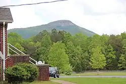 Yonah Mountain viewed from Mount Yonah Baptist Church | |
 Yonah, Georgia | |
| Coordinates: 34°38′28″N 83°45′13″W / 34.64111°N 83.75361°W | |
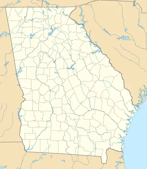
| Country | United States |
| State | Georgia |
| County | White |
| Area | |
| • Total | 3.15 sq mi (8.17 km2) |
| • Land | 3.13 sq mi (8.10 km2) |
| • Water | 0.03 sq mi (0.07 km2) |
| Elevation | 1,539 ft (469 m) |
| Population (2020) | |
| • Total | 657 |
| • Density | 210.11/sq mi (81.13/km2) |
| Time zone | UTC-5 (Eastern (EST)) |
| • Summer (DST) | UTC-4 (EDT) |
| Area code(s) | 706 & 762 |
| GNIS feature ID | 333482[2] |
Yonah is a census-designated place in White County, Georgia, United States. Its population was 657 as of the 2020 census. Georgia State Route 75 passes through the community.
History
Yonah is a name derived from the Cherokee language meaning "bear".[3] Among the locals, Yonah is said to be pronounced as a southern way of saying "You’re on a", so Yonah Mountain sounds like "You’re on a mountain".
Demographics
| Census | Pop. | Note | %± |
|---|---|---|---|
| 2020 | 657 | — | |
| U.S. Decennial Census[4] | |||
See also
References
- ↑ "2020 U.S. Gazetteer Files". United States Census Bureau. Retrieved December 18, 2021.
- 1 2 U.S. Geological Survey Geographic Names Information System: Yonah
- ↑ Krakow, Kenneth K. (1975). Georgia Place-Names: Their History and Origins (PDF). Macon, GA: Winship Press. p. 260. ISBN 0-915430-00-2.
- ↑ "Census of Population and Housing". Census.gov. Retrieved June 4, 2016.
External links
![]() Media related to Yonah, Georgia at Wikimedia Commons
Media related to Yonah, Georgia at Wikimedia Commons
Municipalities and communities of White County, Georgia, United States | ||
|---|---|---|
| Cities | 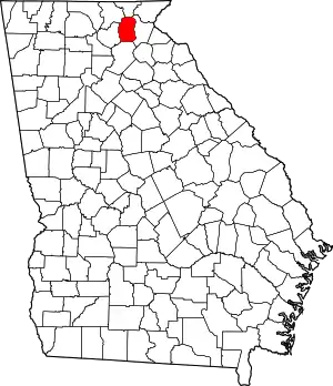 Map of Georgia highlighting White County | |
| CDPs | ||
| Unincorporated communities | ||
This article is issued from Wikipedia. The text is licensed under Creative Commons - Attribution - Sharealike. Additional terms may apply for the media files.