Yankeetown, Ohio | |
|---|---|
 Looking east at intersection of Ohio State Route 207 and Cook-Yankeetown Road | |
 Yankeetown Location of Yankeetown, Ohio  Yankeetown Yankeetown (the United States) | |
| Coordinates: 39°39′41″N 83°16′06″W / 39.66139°N 83.26833°W | |
| Country | United States |
| State | Ohio |
| Counties | Fayette |
| Township | Madison |
| Elevation | 843 ft (257 m) |
| Time zone | UTC-5 (Eastern (EST)) |
| • Summer (DST) | UTC-4 (EDT) |
| ZIP code | 43143 |
| Area code | 740 |
| GNIS feature ID | 1063105[1] |
Yankeetown is an unincorporated community in Madison Township, Fayette County, Ohio, United States. It is located at 39°39′41″N 83°16′06″W / 39.66139°N 83.26833°W,[2] at the intersection of State Route 207 and Cook-Yankeetown Road (Fayette County Highway 34), about 3 miles south of Mount Sterling.[3]
References
- 1 2 "US Board on Geographic Names". United States Geological Survey. October 25, 2007. Retrieved January 31, 2008.
- ↑ U.S. Geological Survey Geographic Names Information System: Yankeetown, Fayette County, Ohio
- ↑ Rand McNally. The Road Atlas '06. Chicago: Rand McNally, 2006, 80.
Municipalities and communities of Fayette County, Ohio, United States | ||
|---|---|---|
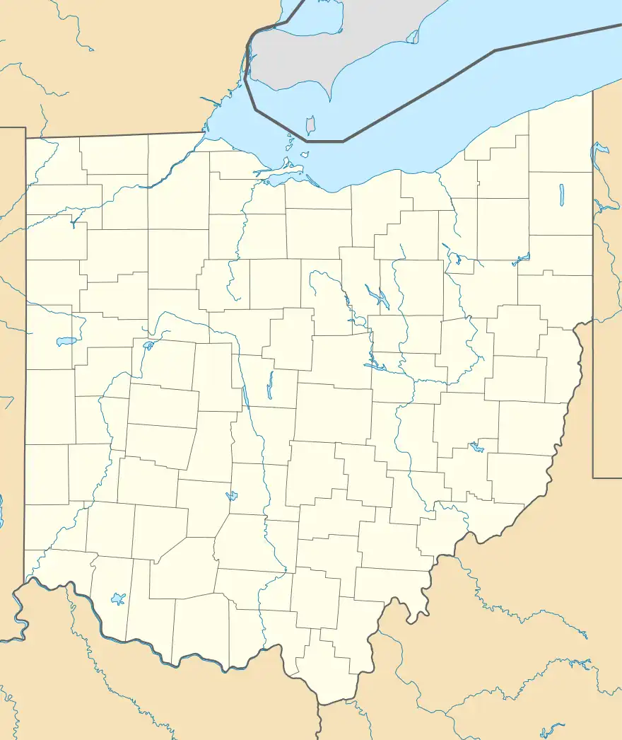
| City |  Map of Ohio highlighting Fayette County | |
| Villages | ||
| Townships | ||
| CDPs | ||
| Unincorporated communities |
| |
| Footnotes | ‡This populated place also has portions in an adjacent county or counties | |
This article is issued from Wikipedia. The text is licensed under Creative Commons - Attribution - Sharealike. Additional terms may apply for the media files.