Wulkaprodersdorf | |
|---|---|
.jpg.webp) Church of the Exaltation of the Holy Cross | |
 Coat of arms | |
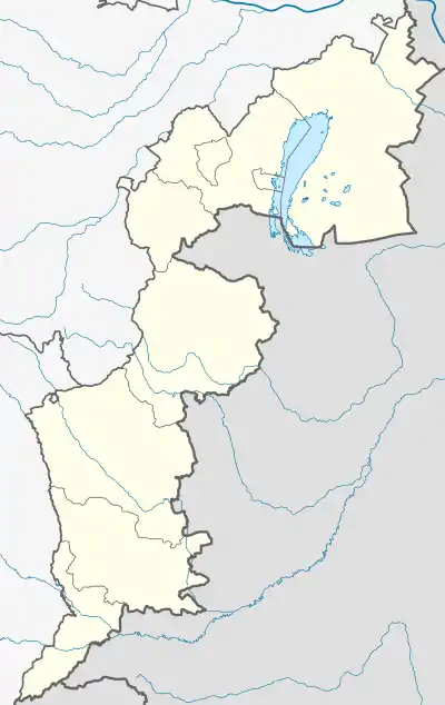 Wulkaprodersdorf Location within Burgenland  Wulkaprodersdorf Location within Austria | |
| Coordinates: 47°47′38″N 16°29′45″E / 47.79389°N 16.49583°E | |
| Country | Austria |
| State | Burgenland |
| District | Eisenstadt-Umgebung |
| Government | |
| • Mayor | Friedrich Zarits (ÖVP) |
| Area | |
| • Total | 12.22 km2 (4.72 sq mi) |
| Elevation | 171 m (561 ft) |
| Population (2018-01-01)[2] | |
| • Total | 1,944 |
| • Density | 160/km2 (410/sq mi) |
| Time zone | UTC+1 (CET) |
| • Summer (DST) | UTC+2 (CEST) |
| Postal code | 7041 |
| Website | www.wulkaprodersdorf.at |
Wulkaprodersdorf (Croatian: Vulkaprodrštof, Hungarian: Vulkapordány, Vulka-Pordány) is a town in the district of Eisenstadt-Umgebung in the Austrian state of Burgenland.
Population
| Year | Pop. | ±% |
|---|---|---|
| 1869 | 1,343 | — |
| 1880 | 1,573 | +17.1% |
| 1890 | 1,630 | +3.6% |
| 1900 | 1,749 | +7.3% |
| 1910 | 1,761 | +0.7% |
| 1923 | 1,791 | +1.7% |
| 1934 | 1,806 | +0.8% |
| 1939 | 1,715 | −5.0% |
| 1951 | 1,764 | +2.9% |
| 1961 | 1,752 | −0.7% |
| 1971 | 1,682 | −4.0% |
| 1981 | 1,666 | −1.0% |
| 1991 | 1,865 | +11.9% |
| 2001 | 1,890 | +1.3% |
| 2011 | 1,883 | −0.4% |
| 2021 | 1,982 | +5.3% |
See also
References
- ↑ "Dauersiedlungsraum der Gemeinden Politischen Bezirke und Bundesländer - Gebietsstand 1.1.2018". Statistics Austria. Retrieved 10 March 2019.
- ↑ "Einwohnerzahl 1.1.2018 nach Gemeinden mit Status, Gebietsstand 1.1.2018". Statistics Austria. Retrieved 9 March 2019.
This article is issued from Wikipedia. The text is licensed under Creative Commons - Attribution - Sharealike. Additional terms may apply for the media files.