Windy Ridge | |
|---|---|
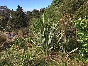 Eskdale Reserve in Windy Ridge | |
| Coordinates: 36°47′14″S 174°42′33″E / 36.787163518°S 174.70916383°E | |
| Country | New Zealand |
| City | Auckland |
| Local authority | Auckland Council |
| Electoral ward | North Shore Ward |
| Local board | Kaipātiki Local Board |
| Population (2006) | |
| • Total | 3,375 |
| Postcode(s) | 0629 |
| (Kaipatiki Creek) | Witheford Heights | Glenfield |
| Beach Haven |
|
Hillcrest |
| Birkdale | Chatswood | Birkenhead |
Windy Ridge is a suburb of the North Shore of Auckland, New Zealand. It is currently under the local governance of Auckland Council. Windy Ridge had a population of 3,054 people in 1996, 3,111 people in 2001 and 3,375 people in 2006.
History
Windy Ridge was one of the first areas of inland Glenfield by European settlers, when Terence and Elizabeth Crook purchased 569 acres (230 ha) north of Coronation Road, known as Gooches Corner. The section was later farmed by Minnie Gracie and her husband Arthur Moore Gracie.[1]
Education
Windy Ridge School is a coeducational contributing primary school (years 1–6), with a decile rating of 7 and a roll of 198.[2] The school includes two satellite classes from Wilson School for students with intellectual or physical disabilities.[3]
Notes
- ↑ Rounthwaite, Valerie (1989), The Story of Rural Glenfield, Takapuna: Takapuna City Council, pp. 22–23, OCLC 37482407, Wikidata Q123499466
- ↑ Education Counts: Windy Ridge School
- ↑ "Supplementary Review Report: Windy Ridge School". Education Review Office. October 2008.