White Oak, Missouri | |
|---|---|
 Water tower in White Oak | |
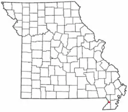 Location of White Oak in Missouri | |
| Country | United States |
| State | Missouri |
| County | Dunklin |
| Area | |
| • Total | 0.13 sq mi (0.33 km2) |
| • Land | 0.13 sq mi (0.33 km2) |
| • Water | 0.00 sq mi (0.00 km2) |
| Elevation | 272 ft (83 m) |
| Population (2020) | |
| • Total | 101 |
| • Density | 801.59/sq mi (309.76/km2) |
| FIPS code | 29-79468 |
| GNIS feature ID | 2806398[2] |
White Oak is an unincorporated community in Dunklin County, Missouri, United States.[2] It is located on Route 25, approximately five miles north of Kennett.
A post office called White Oak was established in 1891, and the name was changed to Whiteoak in 1895.[3] The community was named for a grove of white oak trees near the original town site.[4]
Demographics
| Census | Pop. | Note | %± |
|---|---|---|---|
| 2020 | 101 | — | |
| U.S. Decennial Census[5] | |||
References
- ↑ "ArcGIS REST Services Directory". United States Census Bureau. Retrieved September 5, 2022.
- 1 2 3 U.S. Geological Survey Geographic Names Information System: White Oak, Missouri
- ↑ "Post Offices". Jim Forte Postal History. Retrieved September 29, 2016.
- ↑ "Dunklin County Place Names, 1928–1945 (archived)". The State Historical Society of Missouri. Archived from the original on June 24, 2016. Retrieved September 29, 2016.
- ↑ "Census of Population and Housing". Census.gov. Retrieved June 4, 2016.
Municipalities and communities of Dunklin County, Missouri, United States | ||
|---|---|---|
| Cities | 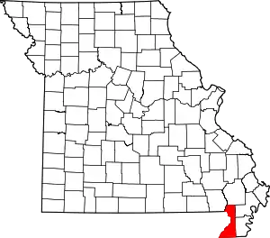 Map of Missouri highlighting Dunklin County | |
| Village | ||
| Townships | ||
| CDPs | ||
| Other communities | ||
| Ghost towns | ||
| Footnotes | ‡This populated place also has portions in an adjacent county or counties | |
36°19′48″N 90°01′39″W / 36.33000°N 90.02750°W
This article is issued from Wikipedia. The text is licensed under Creative Commons - Attribution - Sharealike. Additional terms may apply for the media files.