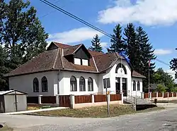
Viszló | |
|---|---|
Village | |
 | |
 Flag  Coat of arms | |
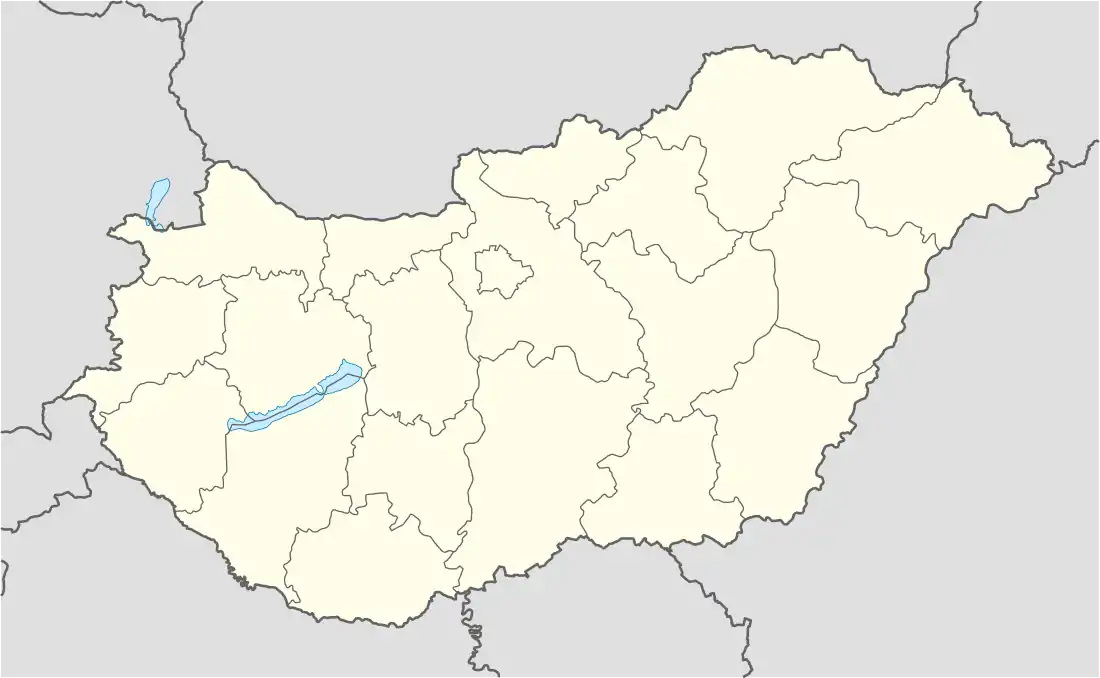 Viszló Location of Viszló | |
| Coordinates: 48°29′34″N 20°53′16″E / 48.49286°N 20.88778°E | |
| Country | Hungary |
| Region | Northern Hungary |
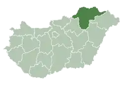
| County | Borsod-Abaúj-Zemplén |
| District | Edelény |
| Area | |
| • Total | 11.08 km2 (4.28 sq mi) |
| Population (1 January 2023)[1] | |
| • Total | 61 |
| • Density | 5.5/km2 (14/sq mi) |
| Time zone | UTC+1 (CET) |
| • Summer (DST) | UTC+2 (CEST) |
| Postal code | 3825 |
| Area code | (+36) 48 |
Viszló (Rusyn: Віслава) is a village in Borsod-Abaúj-Zemplén County in northeastern Hungary.[2]
Etymology
The name comes from Slavic personal name Vęceslavъ.[3] 1299 Wyzlou.[3]
Location
Viszló is 70 kilometers northeast of Miskolc, 20 kilometers east by northeast of Szendrő, and 30 kilometers northeast of Edelény.
Neighboring villages
- Tornaszentjakab is to the north
- Rakaca is to the south
- Rakacaszend is to the west
- Debréte is to the northwest
References
- ↑ Error: Unable to display the reference properly. See the documentation for details.
- ↑ Központi Statisztikai Hivatal (KSH) (in Hungarian)
- 1 2 Kiss, Lajos (1978). Földrajzi nevek etimológiai szótára (in Hungarian). Budapest: Akadémiai. p. 698.
This article is issued from Wikipedia. The text is licensed under Creative Commons - Attribution - Sharealike. Additional terms may apply for the media files.