Vierpolders | |
|---|---|
Village | |
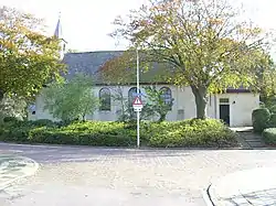 Dutch Reformed church | |
 Coat of arms | |
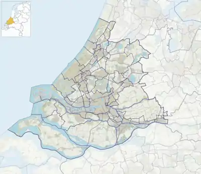 Vierpolders Location in the province of South Holland in the Netherlands 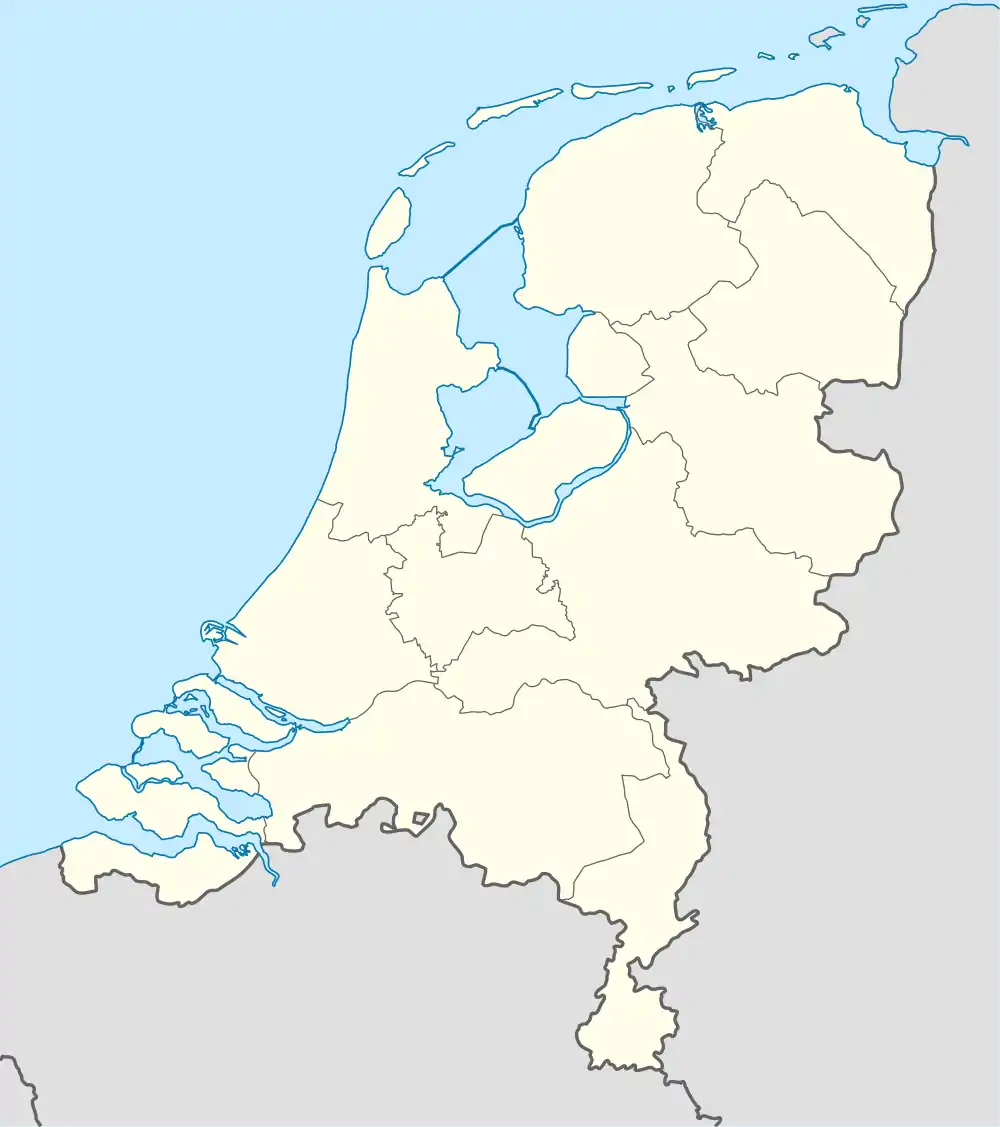 Vierpolders Location in the Netherlands | |
| Coordinates: 51°53′N 4°11′E / 51.883°N 4.183°E | |
| Country | Netherlands |
| Province | South Holland |
| Municipality | Voorne aan Zee |
| Area | |
| • Total | 10.37 km2 (4.00 sq mi) |
| Elevation | −0.7 m (−2.3 ft) |
| Population (2021)[1] | |
| • Total | 1,820 |
| • Density | 180/km2 (450/sq mi) |
| Time zone | UTC+1 (CET) |
| • Summer (DST) | UTC+2 (CEST) |
| Postal code | 3237[1] |
| Dialing code | 0181 |
Vierpolders is a village in the Dutch province of South Holland. It is a part of the municipality of Voorne aan Zee, and lies about 5 km north of Hellevoetsluis.
The name of the village, literally "four polders", refers to the municipality, that consisted of the polders Nieuwland, Veckhoek, Oud-Helvoet, and Oude-Gote. The village and the municipality were previously also named "Nieuwland". The village was first mentioned in 1843 as "de Vierpolders, gezegd Nieuwland".[3]
The Dutch Reformed church was built in 1721 to replace a medieval church which was probably a wooden church. It was extended between 1857 and 1858. It is currently in use by a funeral home.[4]
Vierpolders was a separate municipality between 1817 and 1980, when it became part of Brielle.[5]
Gallery
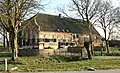 Farm Esterenburch
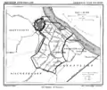 Vierpolders en omgeving uit: Gemeente Atlas van Nederland, J. Kuyper 1867
References
- 1 2 3 "Kerncijfers wijken en buurten 2021". Central Bureau of Statistics. Retrieved 3 May 2022.
- ↑ "Postcodetool for 3237AA". Actueel Hoogtebestand Nederland (in Dutch). Het Waterschapshuis. 24 July 2019. Retrieved 3 May 2022.
- ↑ "Vierpolders - (geografische naam)". Etymologiebank (in Dutch). Retrieved 3 May 2022.
- ↑ "Vierpolders". Plaatsengids (in Dutch). Retrieved 3 May 2022.
- ↑ Ad van der Meer and Onno Boonstra, Repertorium van Nederlandse gemeenten, KNAW, 2011.