Unstrut-Hainich | |
|---|---|
Location of Unstrut-Hainich within Unstrut-Hainich-Kreis district  | |
 Unstrut-Hainich 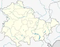 Unstrut-Hainich | |
| Coordinates: 51°08′N 10°34′E / 51.133°N 10.567°E | |
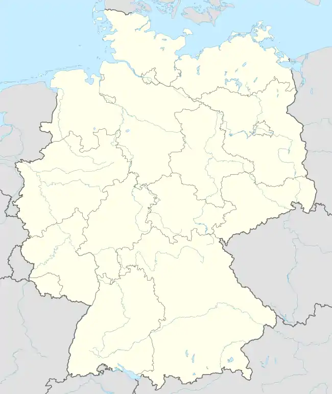
| Country | Germany |
| State | Thuringia |
| District | Unstrut-Hainich-Kreis |
| Subdivisions | 6 |
| Area | |
| • Total | 94.34 km2 (36.42 sq mi) |
| Elevation | 225 m (738 ft) |
| Population (2021-12-31)[1] | |
| • Total | 5,147 |
| • Density | 55/km2 (140/sq mi) |
| Time zone | UTC+01:00 (CET) |
| • Summer (DST) | UTC+02:00 (CEST) |
| Postal codes | 99991, 99947, 99986 |
| Dialling codes | 036022, 036028 |
| Vehicle registration | UH |
Unstrut-Hainich is a municipality in the district Unstrut-Hainich-Kreis, in Thuringia, Germany. It was created with effect from 1 January 2019 by the merger of the former municipalities of Altengottern, Flarchheim, Großengottern, Heroldishausen, Mülverstedt and Weberstedt. The name refers to the river Unstrut and the hill chain Hainich.
References
This article is issued from Wikipedia. The text is licensed under Creative Commons - Attribution - Sharealike. Additional terms may apply for the media files.