Uggiate-Trevano
| |
|---|---|
| Comune di Uggiate-Trevano | |
 | |
Location of Uggiate-Trevano | |
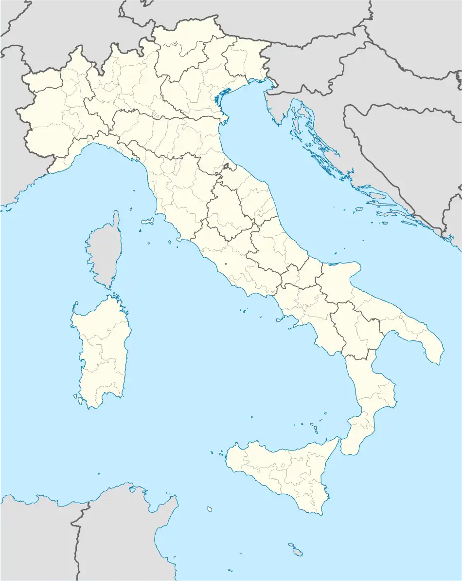 Uggiate-Trevano Location of Uggiate-Trevano in Italy 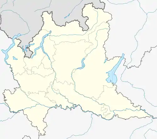 Uggiate-Trevano Uggiate-Trevano (Lombardy) | |
| Coordinates: 45°49′N 8°58′E / 45.817°N 8.967°E | |
| Country | Italy |
| Region | Lombardy |
| Province | Como (CO) |
| Government | |
| • Mayor | Rita Lambrughi |
| Area | |
| • Total | 5.8 km2 (2.2 sq mi) |
| Elevation | 414 m (1,358 ft) |
| Population (31 March 2017)[2] | |
| • Total | 4,946 |
| • Density | 850/km2 (2,200/sq mi) |
| Demonym | Uggiatesi |
| Time zone | UTC+1 (CET) |
| • Summer (DST) | UTC+2 (CEST) |
| Postal code | 22029 |
| Dialing code | 031 |
| Website | Official website |
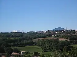
Uggiate-Trevano (Italian pronunciation: [udˈdʒaːte ˈtreːvano]; Comasco: Uggiaa-Trevan [yˈdʒaː ˈtreːvã]) is a comune (municipality) in the Province of Como in the Italian region Lombardy, located about 40 kilometres (25 mi) northwest of Milan and about 9 kilometres (6 mi) west of Como, on the border with Switzerland.
Uggiate-Trevano borders the following municipalities: Albiolo, Bizzarone, Colverde, Faloppio, Novazzano (Switzerland), Ronago, Valmorea.
Twin towns — sister cities
Uggiate-Trevano is twinned with:
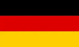 Adelsdorf, Bavaria, Germany (1998)
 Ruaudin, France (2013)
References
- ↑ "Superficie di Comuni Province e Regioni italiane al 9 ottobre 2011". Italian National Institute of Statistics. Retrieved 16 March 2019.
- ↑ All demographics and other statistics: Italian statistical institute Istat.
This article is issued from Wikipedia. The text is licensed under Creative Commons - Attribution - Sharealike. Additional terms may apply for the media files.