Udanin | |
|---|---|
Village | |
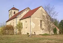 Church of Saint Ursula | |
 Udanin | |
| Coordinates: 51°2′13″N 16°27′12″E / 51.03694°N 16.45333°E | |
| Country | |
| Voivodeship | Lower Silesian |
| County | Środa Śląska |
| Gmina | Udanin |
| Population | 4,961 |
| ISO 3166 code | PL |
| Website | www |
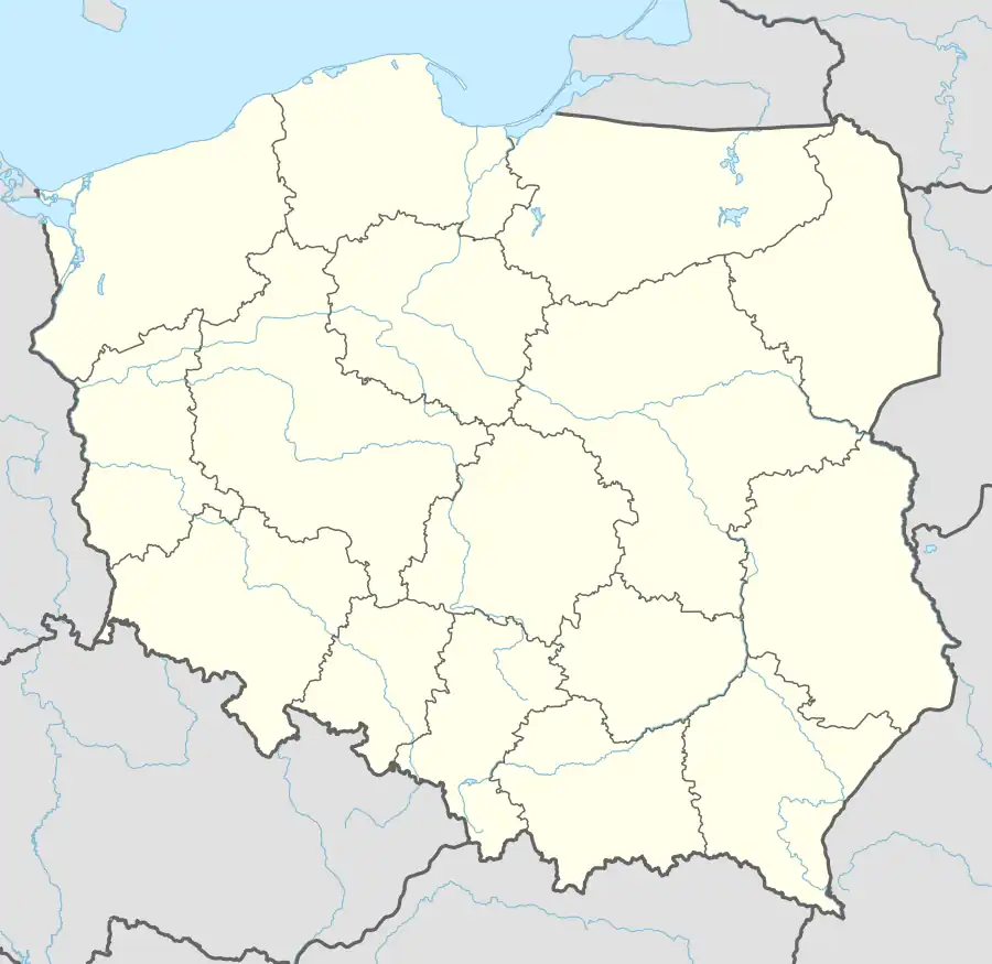
Udanin [uˈdanin] is a village in Środa Śląska County, Lower Silesian Voivodeship, in the south-western region of Poland.[1] It is the seat of the administrative district (gmina) called Gmina Udanin.
It is located approximately 16 kilometres (10 mi) south-west of Środa Śląska, and 43 kilometres (27 mi) west of the regional capital, Wrocław. As of June 30, 2004, the commune had a population of 5,665. As of 31 March 2021, Udanin had a population of 4,961.
Land use
According to data from 2002, the Udanin commune has an area of 110.71 km2, including:
- Agricultural land: 87%
- Forest use: 4%
The municipality accounts for 15.73% of the Powiat (county) area.
District villages
Damianowo, Drogomiłowice, Dziwigórz, Gościsław, Jarosław, Jarostów, Karnice, Konary, Lasek, Lusina, Łagiewniki Średzkie , Pichorowice, Piekary, Pilaszkowice, Różana, Sokolniki, Udanin, Ujazd Dolny, Ujazd Górny
footnotes
| Seat |  | |
|---|---|---|
| Other villages |
| |