Ubstadt-Weiher | |
|---|---|
 | |
 Flag  Coat of arms | |
Location of Ubstadt-Weiher within Karlsruhe district 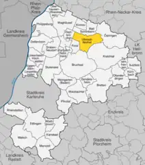 | |
 Ubstadt-Weiher 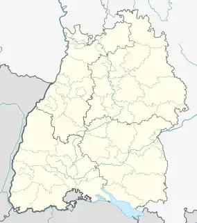 Ubstadt-Weiher | |
| Coordinates: 49°9′56″N 8°37′30″E / 49.16556°N 8.62500°E | |
| Country | Germany |
| State | Baden-Württemberg |
| Admin. region | Karlsruhe |
| District | Karlsruhe |
| Subdivisions | 4 |
| Government | |
| • Mayor (2018–26) | Tony Löffler[1] (CDU) |
| Area | |
| • Total | 36.48 km2 (14.09 sq mi) |
| Elevation | 131 m (430 ft) |
| Population (2021-12-31)[2] | |
| • Total | 13,143 |
| • Density | 360/km2 (930/sq mi) |
| Time zone | UTC+01:00 (CET) |
| • Summer (DST) | UTC+02:00 (CEST) |
| Postal codes | 76698 |
| Dialling codes | 07253, 07251 |
| Vehicle registration | KA |
| Website | www.ubstadt-weiher.de |
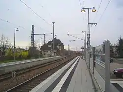
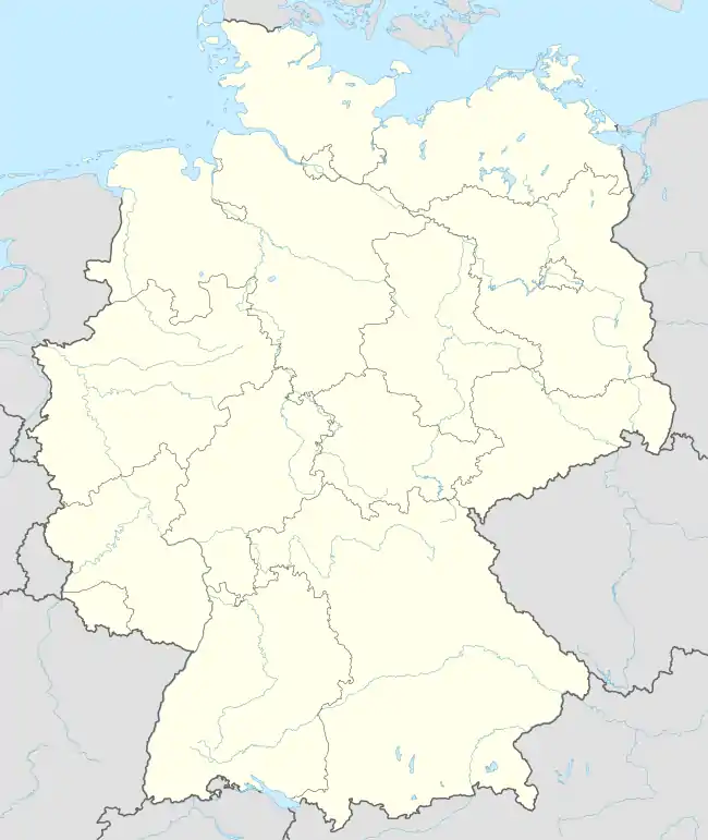
Ubstadt-Weiher is a municipality in northern Karlsruhe district in Baden-Württemberg, Germany. It is located on Bertha Benz Memorial Route.
The four villages that make up the municipality are (in order of size): Ubstadt, Weiher, Zeutern, and Stettfeld. The area in between and around these villages is numbered with grape vineyards. There are many wineries found in these villages.
References
- ↑ Aktuelle Wahlergebnisse, Staatsanzeiger, accessed 13 September 2021.
- ↑ "Bevölkerung nach Nationalität und Geschlecht am 31. Dezember 2021" [Population by nationality and sex as of December 31, 2021] (CSV) (in German). Statistisches Landesamt Baden-Württemberg. June 2022.
External links
- Official Website
- Bertha Benz Memorial Route (in English)
Wikimedia Commons has media related to Ubstadt-Weiher.
This article is issued from Wikipedia. The text is licensed under Creative Commons - Attribution - Sharealike. Additional terms may apply for the media files.