Tres Arroyos Airport | |||||||||||||||||||
|---|---|---|---|---|---|---|---|---|---|---|---|---|---|---|---|---|---|---|---|
| Summary | |||||||||||||||||||
| Airport type | Public | ||||||||||||||||||
| Serves | Tres Arroyos, Argentina | ||||||||||||||||||
| Elevation AMSL | 400 ft / 122 m | ||||||||||||||||||
| Coordinates | 38°23′15″S 60°19′50″W / 38.38750°S 60.33056°W | ||||||||||||||||||
| Map | |||||||||||||||||||
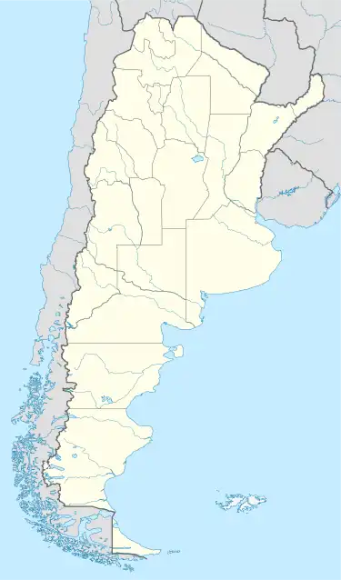 OYO Location of the airport in Argentina | |||||||||||||||||||
| Runways | |||||||||||||||||||
| |||||||||||||||||||
Tres Arroyos Airport (IATA: OYO, ICAO: SAZH) is an airport serving Tres Arroyos, a city in the Buenos Aires Province of Argentina. The airport is just west of the city.
See also
References
- ↑ "Airport information for Tres Arroyos Airport". World Aero Data. Archived from the original on 5 March 2019.
{{cite web}}: CS1 maint: unfit URL (link) Data current as of October 2006. - ↑ "Tres Arroyos Airport". SkyVector. Retrieved 16 April 2019.
- ↑ "Tres Arroyos". Google Maps. Google. Retrieved 16 April 2019.
External links
- OpenStreetMap - Tres Arroyos Airport
- OurAirports - Tres Arroyos Airport
- Airport information for Tres Arroyos Airport at Great Circle Mapper.
- Accident history for OYO at Aviation Safety Network
This article is issued from Wikipedia. The text is licensed under Creative Commons - Attribution - Sharealike. Additional terms may apply for the media files.