Travesio
| |
|---|---|
| Comune di Travesio | |
Location of Travesio | |
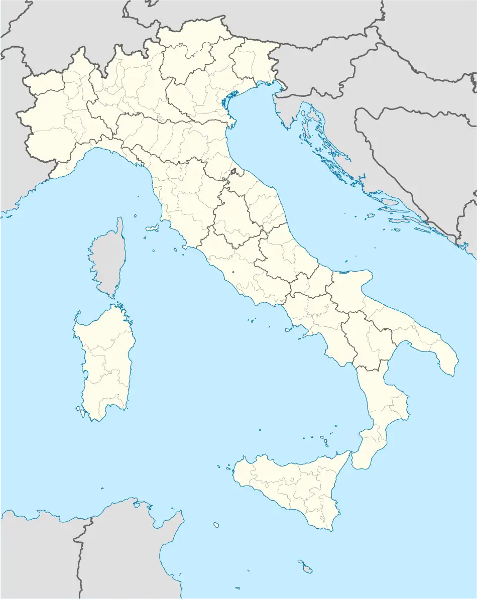 Travesio Location of Travesio in Italy 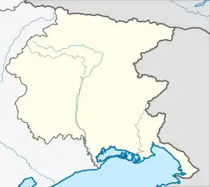 Travesio Travesio (Friuli-Venezia Giulia) | |
| Coordinates: 46°12′N 12°52′E / 46.200°N 12.867°E | |
| Country | Italy |
| Region | Friuli Venezia Giulia |
| Province | Province of Pordenone (PN) |
| Area | |
| • Total | 28.8 km2 (11.1 sq mi) |
| Elevation | 226 m (741 ft) |
| Population (Dec. 2004)[2] | |
| • Total | 1,816 |
| • Density | 63/km2 (160/sq mi) |
| Time zone | UTC+1 (CET) |
| • Summer (DST) | UTC+2 (CEST) |
| Postal code | 33090 |
| Dialing code | 0427 |
| Website | Official website |
Travesio (Friulian: Travês) is a comune (municipality) in the Regional decentralization entity of Pordenone in the Italian region of Friuli Venezia Giulia, located about 100 kilometres (62 mi) northwest of Trieste and about 30 kilometres (19 mi) northeast of Pordenone. As of 31 December 2004, it had a population of 1,816 and an area of 28.8 square kilometres (11.1 sq mi).[3]
Travesio borders the following municipalities: Castelnovo del Friuli, Meduno, Pinzano al Tagliamento, Sequals, Tramonti di Sotto. Its frazione (borough) of Toppo is a member of the I Borghi più belli d'Italia ("The most beautiful villages of Italy") association.[4]
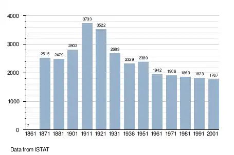
Demographic evolution
References
- ↑ "Superficie di Comuni Province e Regioni italiane al 9 ottobre 2011". Italian National Institute of Statistics. Retrieved 16 March 2019.
- ↑ "Popolazione Residente al 1° Gennaio 2018". Italian National Institute of Statistics. Retrieved 16 March 2019.
- ↑ All demographics and other statistics: Italian statistical institute Istat.
- ↑ "Friuli Venezia Giulia" (in Italian). Retrieved 31 July 2023.
External links
This article is issued from Wikipedia. The text is licensed under Creative Commons - Attribution - Sharealike. Additional terms may apply for the media files.