Torniella | |
|---|---|
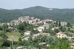 View of Torniella | |
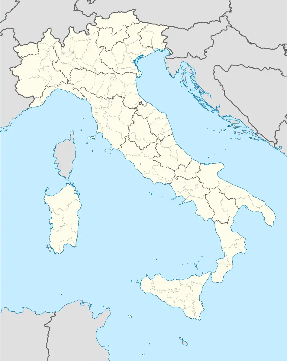 Torniella Location of Torniella in Italy | |
| Coordinates: 43°4′26″N 11°9′14″E / 43.07389°N 11.15389°E | |
| Country | |
| Region | |
| Province | Grosseto (GR) |
| Comune | Roccastrada |
| Elevation | 441 m (1,447 ft) |
| Population (2011) | |
| • Total | 294 |
| Demonym | Torniellini |
| Time zone | UTC+1 (CET) |
| • Summer (DST) | UTC+2 (CEST) |
| Postal code | 58036 |
| Dialing code | (+39) 0564 |
Torniella is a village in Tuscany, central Italy, administratively a frazione of the comune of Roccastrada, province of Grosseto. At the time of the 2001 census its population amounted to 323.[1]
Torniella is about 46 km from Grosseto and 10 km from Roccastrada, and it is situated in the heart of La Pietra and Farma nature reserves.
Main sights
- San Giovanni Battista (14th century), main parish church of the village.
- Church of Immacolata Concezione, or Santi Fabiano e Sebastiano (17th century).
- Walls of Torniella, old fortifications which surround the village since 11th century.
References
Bibliography
- Aldo Mazzolai, Guida della Maremma. Percorsi tra arte e natura, Le Lettere, Florence, 1997.
See also
Wikimedia Commons has media related to Torniella.
This article is issued from Wikipedia. The text is licensed under Creative Commons - Attribution - Sharealike. Additional terms may apply for the media files.